What's New Archive
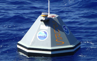
PMEL's Dr. Billy Kessler is currently participating in NASA’s Salinity Processes in the Upper Ocean Regional Study (SPURS) in the Atlantic Ocean. SPURS addresses the role of the ocean in the global water cycle. PMEL engineers have contributed to this study by developing and deploying two Prawler (Profiler + Crawler) equipped moorings. The Prawler device, which is attached to the mooring line, uses wave-powered energy to crawl up the line, taking temperature/salinity measurements along the way.
You can read more about how the Prawler works and view the data in near real time on PMEL’s Engineering Development Division website.
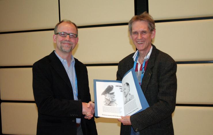
NOAA/PMEL Oceanographer Gregory C. Johnson received the 2013 Georg Wüst Prize for outstanding achievement in marine science from the German Society for Marine Research in an 8 April ceremony at the European Geosciences Union's General Assembly in Vienna, Austria. This biennial prize is sponsored by Springer Verlag's Ocean Dynamics. Immediately prior to the award, Dr. Johnson gave a keynote science lecture entitled "Warming, Contraction, and Freshening of Antarctic Bottom Water since the 1990s, with a Potential Ice-Sheet Melt Feedback".
Johnson leads the PMEL's Argo Ocean Floats program.
Dr. James Overland of PMEL and Dr. Muyin Wang of JISAO recently published a paper in Geophysical Research Letters looking at three methods of predicting when the Arctic will be nearly ice free in the summer. They predict a nearly ice free summer arctic before 2050, sooner than many previously thought.
Learn more from the NOAA press release and visit the NOAA Arctic web page.
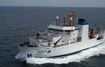
This April, PMEL and JISAO (University of Washington) scientists with EcoFOCI embark on a month-long research cruise in the Gulf of Alaska on the NOAA Ship Oscar Dyson. Scientists will be studying hydrography, nutrients, chlorophyll, and primary production, as well as sampling zooplankton and larval fish abundance as part of the multi-year Gulf of Alaska Integrated Ecosystem Research Program.
You can follow along with scientists and technicians as they work in the Gulf of Alaska on the JISAO blog.
University of Washington Ph.D. student Sarah Purkey along with PMEL’s Dr. Gregory Johnson have analyzed full-depth, ship-based measurements taken along repeat oceanographic sections around the Southern Ocean from the 1980s-2000s. Their new study, which appears online in the Journal of Climate, quantifies freshening of Antarctic Bottom Water, strongest adjacent to where ice sheets have been melting in recent decades.
For more information on this study please visit the Journal of Climate website.
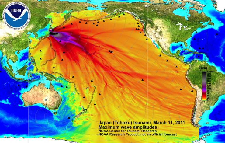
In a paper published February 27 at the Proceedings of the Royal Society of London, scientists from PMEL and JISAO with others explain why, in some cases, tsunami inundation far exceeds what one expects. Lessons learned from tsunamis, such as the one observed in northern Japan in 2011 will help scientists better identify locations that are “tsunami magnets”, and thus help save lives in the future.
For more information please visit the NOAA Center of Tsunami Research website.
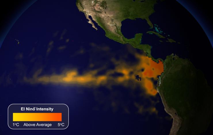
PMEL’s Dr. Ed Harrison and JISAO’s Dr. Andy Chiodi co-authored a paper published online on February 7 in the Journal of Climate that finds a new way to identify which El Niño events will have the biggest impact on U.S. winter weather. They examined an indicator known as outgoing long-wave radiation (OLR) and found that El Niño events with drops in OLR were most likely to be associated with winter weather.
For more information please read the NOAA press release.
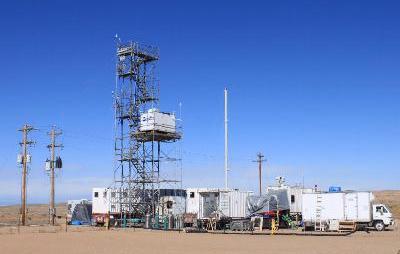
PMEL’s Atmospheric Chemistry group will be in Utah from January 24 through February participating in the second year of the Utah Air Quality Study to determine what is causing high levels of ozone during winter in the oil and gas production fields in Utah. PMEL’s role is to measure properties of atmospheric particles and snow, including chemical composition, to assess their role in ozone production.
To find out more information about this study please visit the Atmospheric Chemistry web site.
PMEL technicians departed the week of January 7 for a 7-week cruise on the NOAA Ship Ronald H.Brown in the Northeast Atlantic to service moorings in the Prediction and Research Moored Array in the Atlantic (PIRATA). PMEL will be deploying 5 moorings at 4 PIRATA sites.
The PIRATA array was established in 1997 in partnership with France and Brazil and studies ocean-atmosphere interactions in the tropical Atlantic. Visit the PIRATA web page for more information.
The worldwide Argo float array of over 3,000 devices made its one-millionth profile in the beginning of December. Measuring temperature and salinity in the first 3,000 feet of the ocean, the Argo float array helps scientists better understand changes in ocean heat content and salinity.
PMEL currently has 476 active Argo floats mostly in the Pacific Ocean, making up 13% of the worldwide array. You can find out more about PMEL’s Argo floats and where they are located on their website.