About the North Pole Environment in 2002
 |
|
 |
|
 |
| 9/17/02, 15:46 UTC
|
|
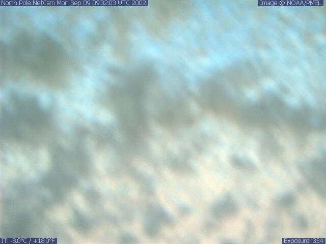
9/9/02, 09:32 UTC |
|
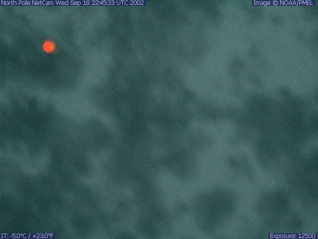
9/18/02, 22:45 UTC |
What is happening
to all the images from the North Pole? The North Pole
is starting to cool down
for the winter, and it's darker now because the sun is
lower in the sky. You can see the cold temperature of the
camera housing on the lower left corner of each image. There
is snow fall, and apparently, blowing snow or ice has covered
the camera lens. There is still a bit of possible sunlight
left in the season, and the melting from that sunlight, or
sublimation by dry winds, may serve to remove the snow from
the camera lens, so it is possible we may get more images.
However, it is also possible that with the onset of winter,
the camera may remain snow covered. At the Autumn Equinox,
approximately September 21, the sun sinks below the horizon
at the North Pole, and the Pole is in twilight until early
October, after which it is in full
darkness for the Winter.
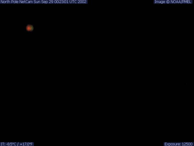
The red spot you see in the upper left corner of a few of
the images is the light
emitting diode (LED) on the front of the camera reflecting
in the glass of the housing. In future deployments, the camera
will be positioned closer to the glass to eliminate this problem.
September 2002. |
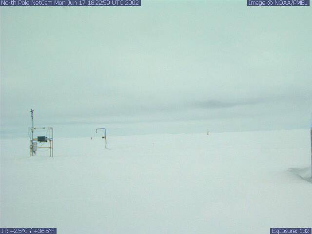
| Why
is it so cloudy now at the North Pole? The North Pole
is experiencing the usual Spring warming and the beginning of
Summer melting right now. Water is evaporated from the melting
snow surface, forming the fog and low clouds that are seen in
recent pictures from the North Pole. June 2002 |
 |
 |
|
 |
| 5/3/02, 20:34 UTC
|
|
6/6/02, 16:01 UTC
|
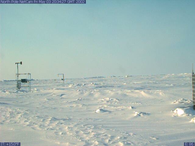
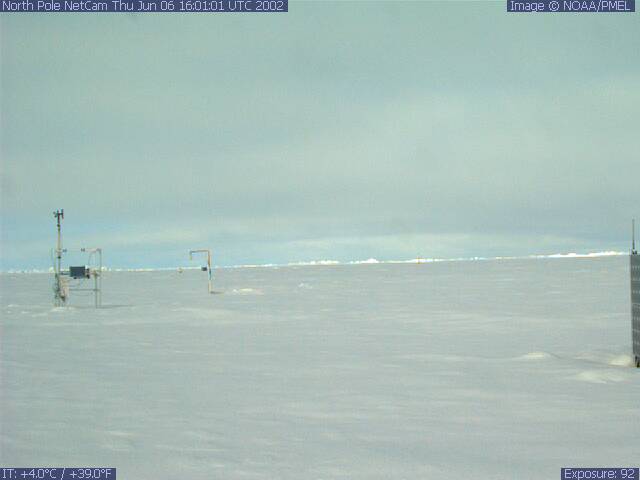
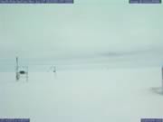
| 5/3/02 Bright
sunshine with warm temperatures of 15 F. Sun light from the
Pacific Ocean side of the globe. The variations of snow depth
can be seen in the image. 6/6/02 Spring
melting can be seen by comparing the snow in this photograph
with the preceding image from 5/03/02, just a month ago. |
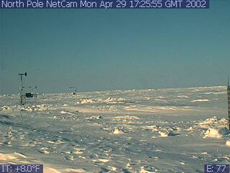
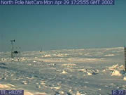
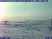
| 4/29/02,
17:25 UTC Sun light from the Pacific Ocean side of the
globe (shadows cast to the right). Jumbled ice on horizon is
the pressure ridge at the edge of the floe. From looking at
the anemometer, you can see the wind has shifted from the first
image and is blowing towards Europe. |
 |
 |
5/1/02,
00:24 UTC Sun is a little lower in the sky and the rosy
colors are typical of twilight at the North Pole. The white
spot in the left is the sun. The haze on the horizon is either
clouds or "sea smoke". "Sea smoke" is moisture which has evaporated
from small regions of open water. |
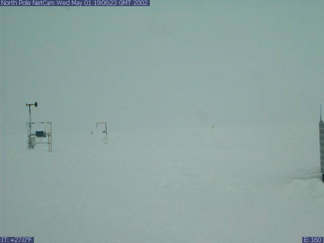
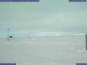
| 5/1/02
19:06 UTC In this image, the surface
is covered by fog and low clouds. Radiation energy is trapped
near the surface and thus the temperatures have increased to
a very warm 27 F. |
 |
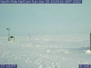 |
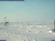
First
image received from the North Pole,
4/28/02 10:28 UTC, Sun is on the European side of the globe
(shadows cast to the left). Snow conditions are typical for
cold temperature of 6 F. In the foreground we see 40-50 cm of
snow on top of the ice floe which is approximately 2.5 meters
thick. From the anemometer,
you can see the wind is blowing from Europe. |
What is Universal Time? GMT and UTC explained here
More Information :