
Adopt a Float Map.png
Image
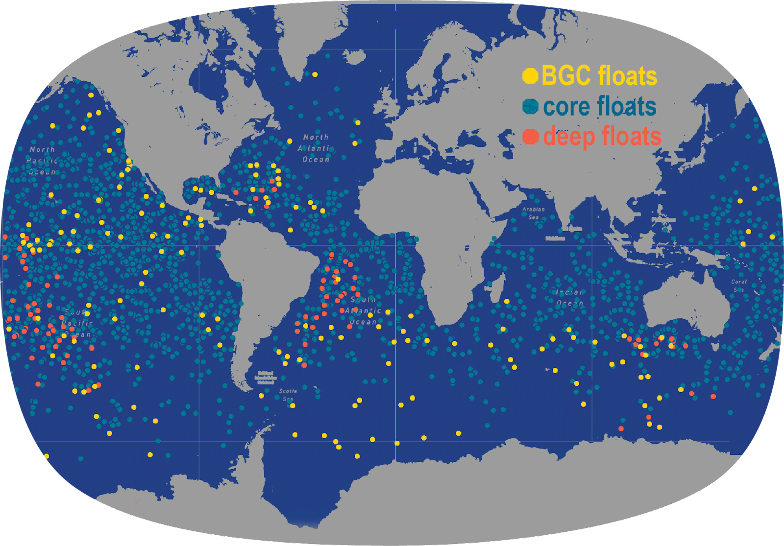
The Argo Program was developed in 1999 and today supports a global array of almost 4,000 robotic profiling floats that measure the temperature and salinity of the upper 2,000 meters (1.2 miles) of the ocean. Argo floats are now being tested to dive down to a depth of 6,000 meters (3.7 miles) and have additional sensors on them to collect information about the biology and the chemistry (oxygen, pH, nitrate, suspended particles, and downwelling irradiance) of the global ocean. Credit: Nina Buzby (University of Washington)