Photos & Animations for 2014 Arctic Report Card
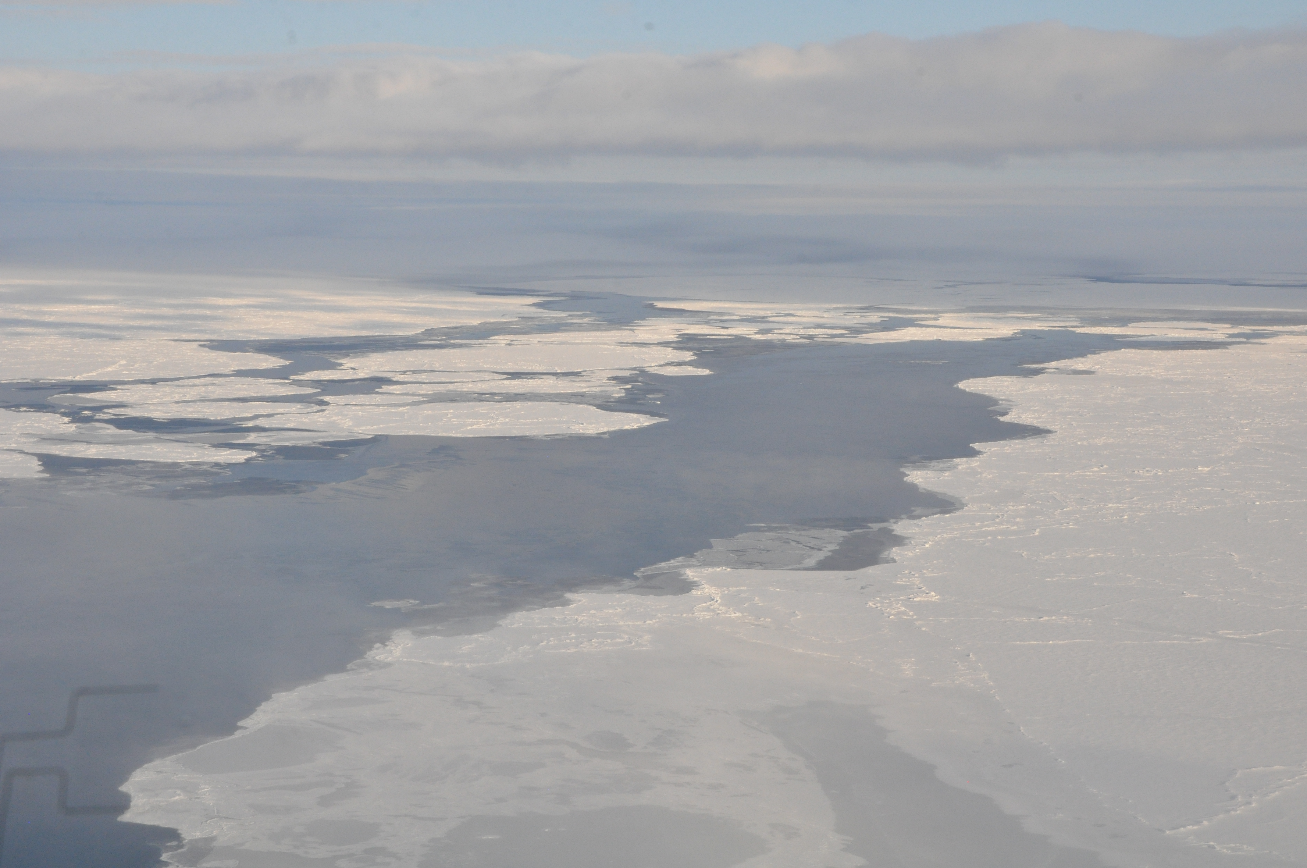
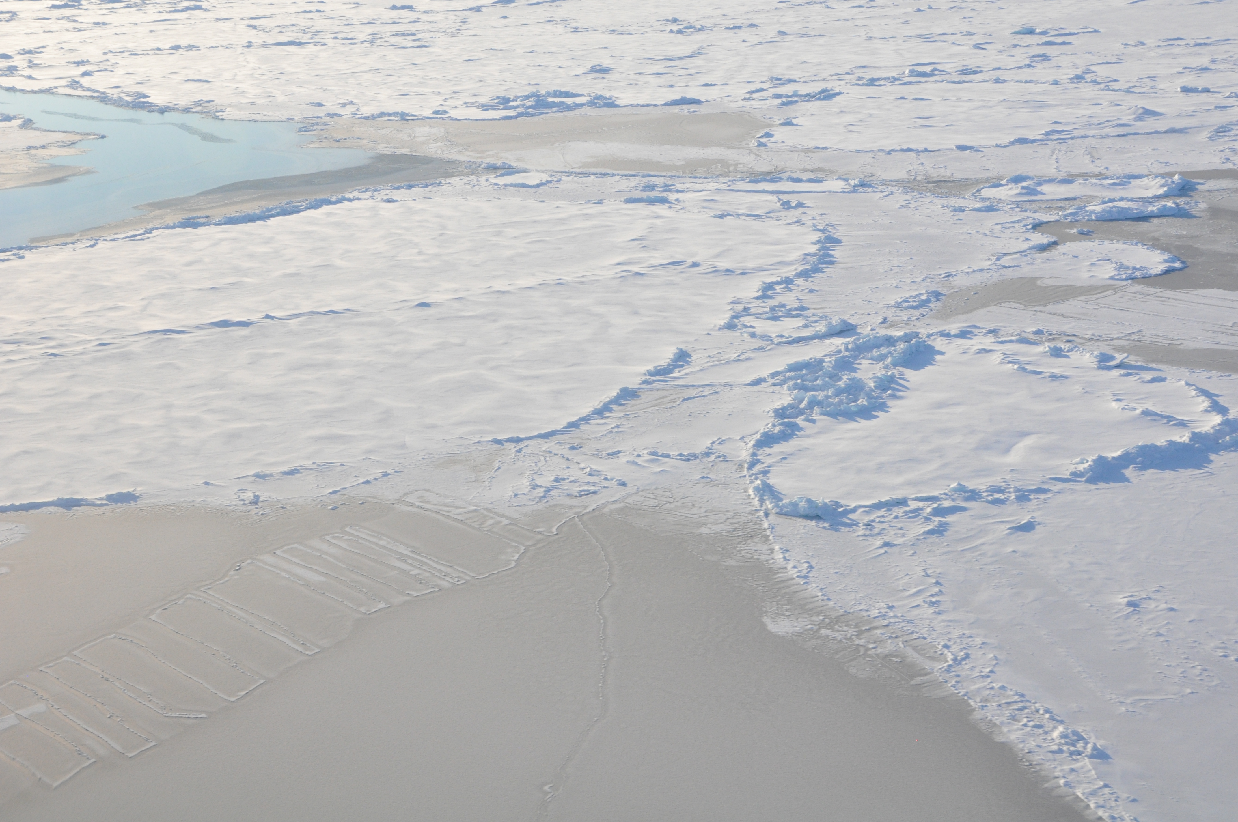
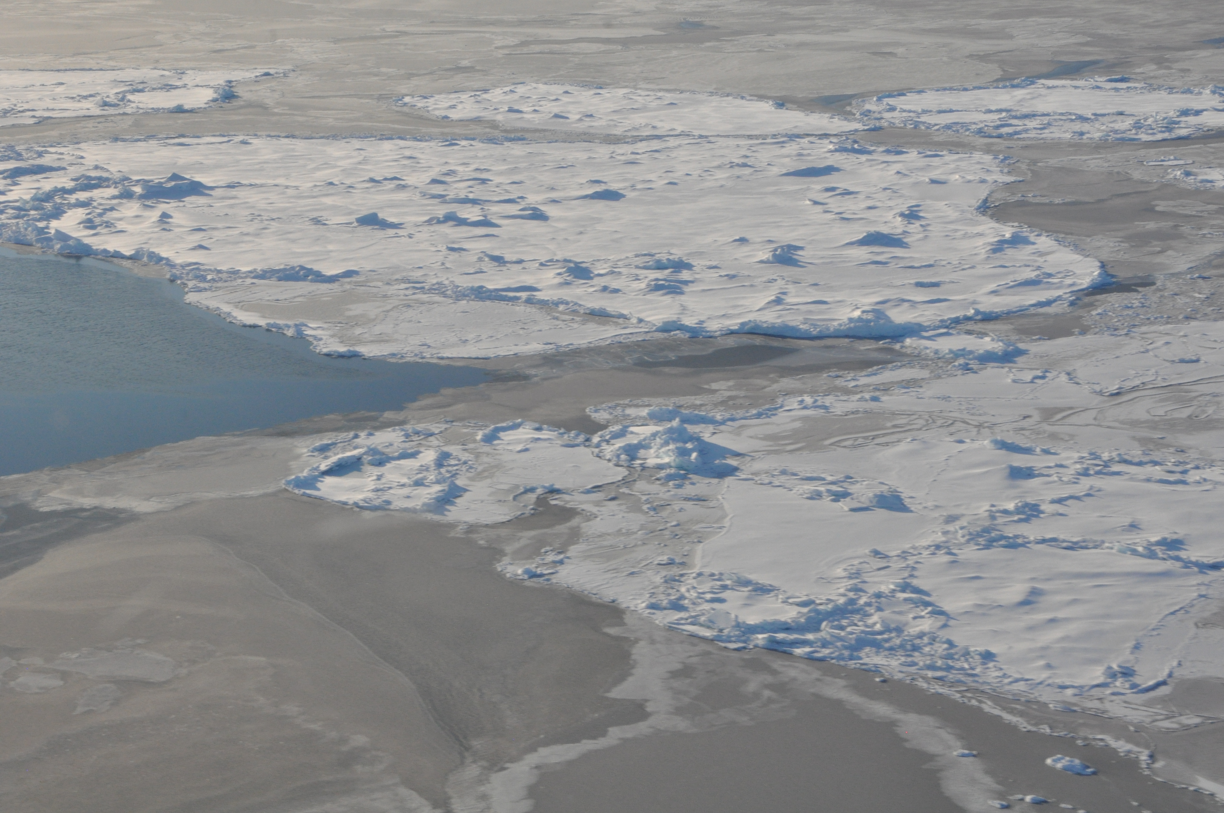
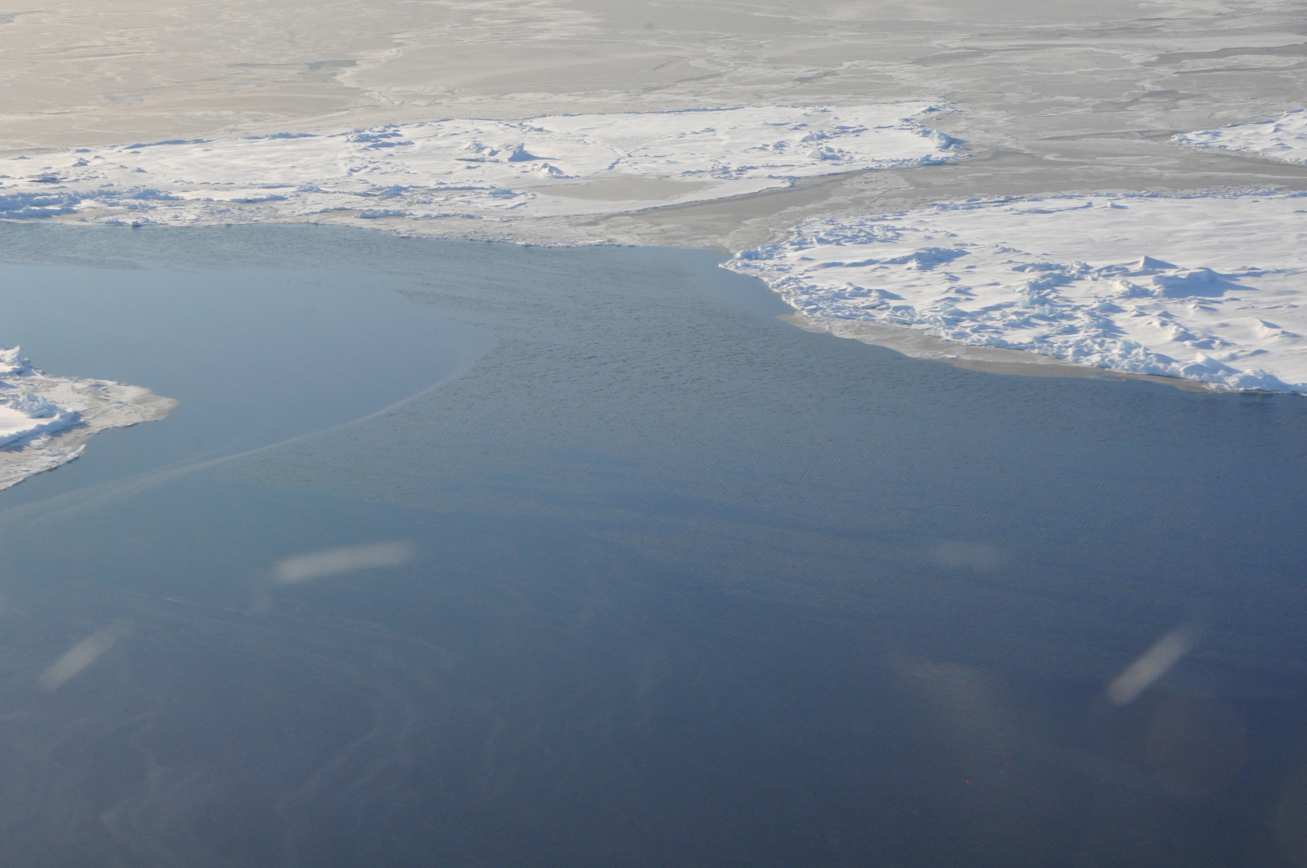
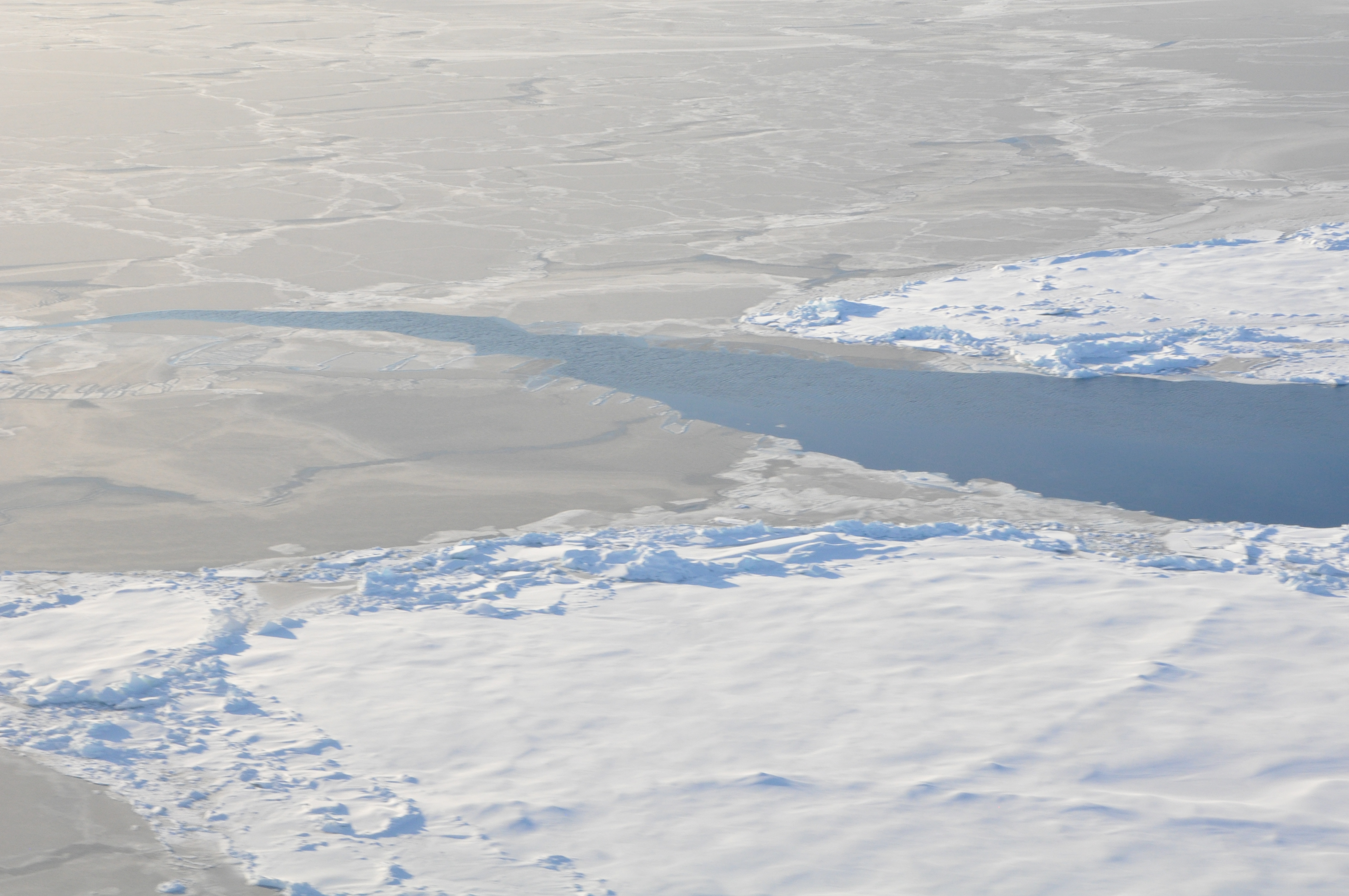
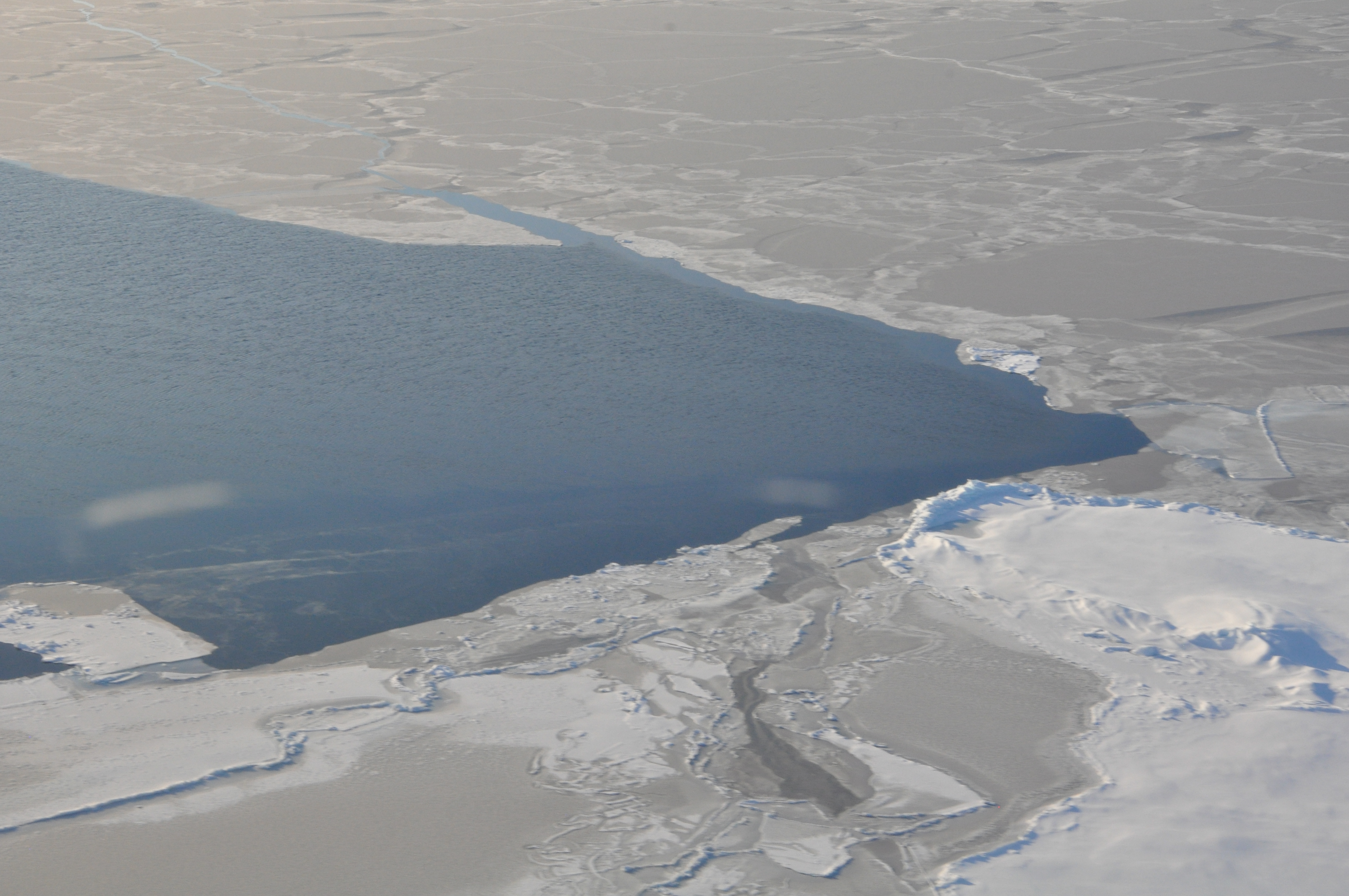
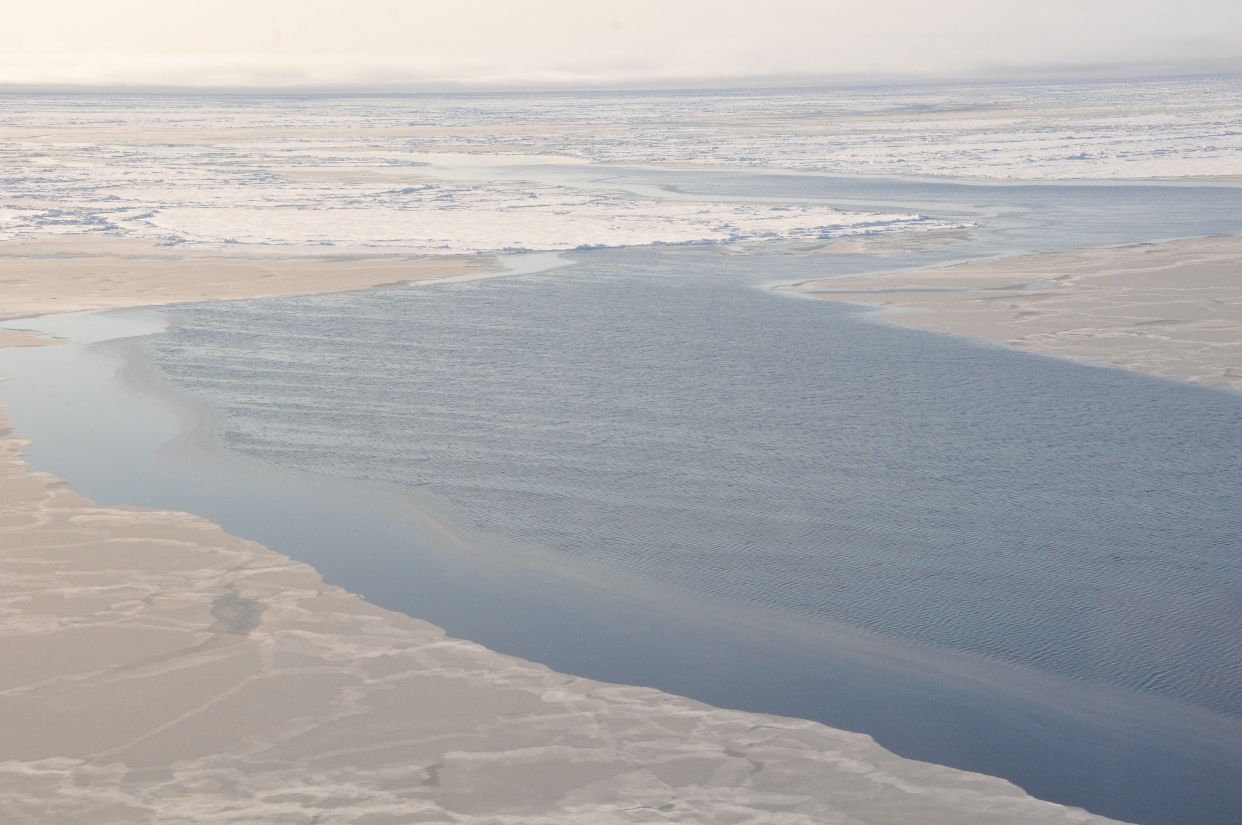
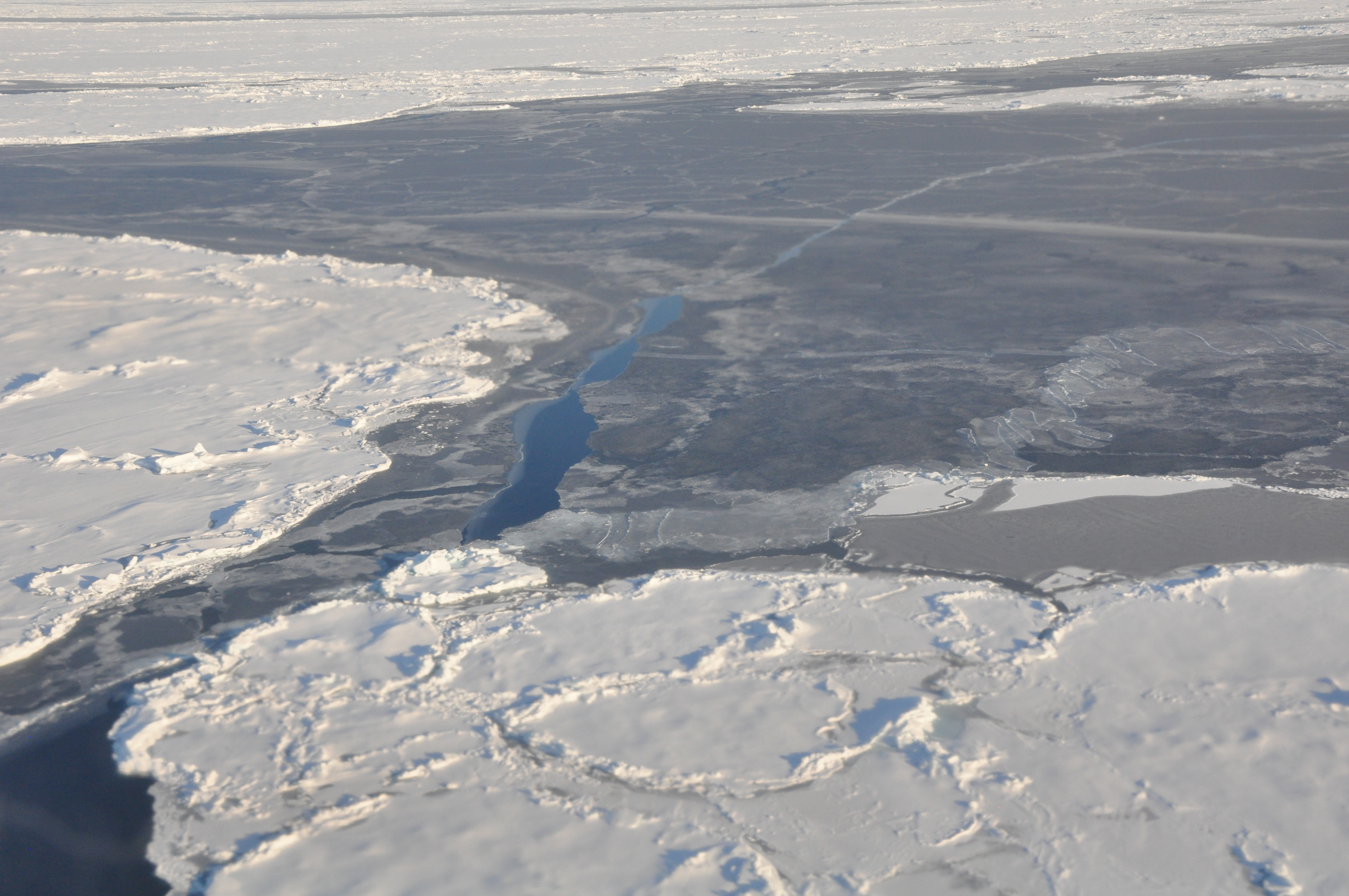
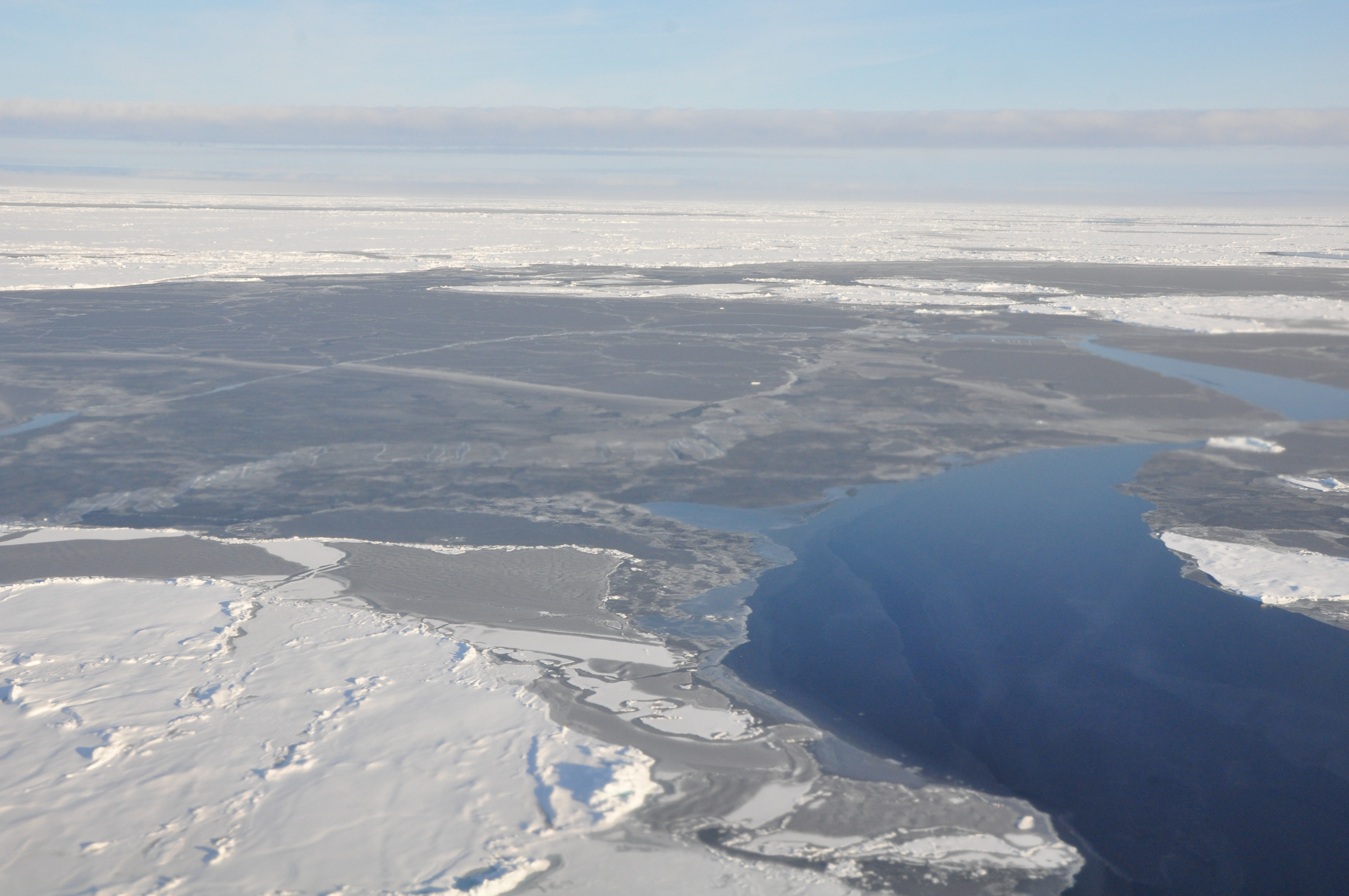
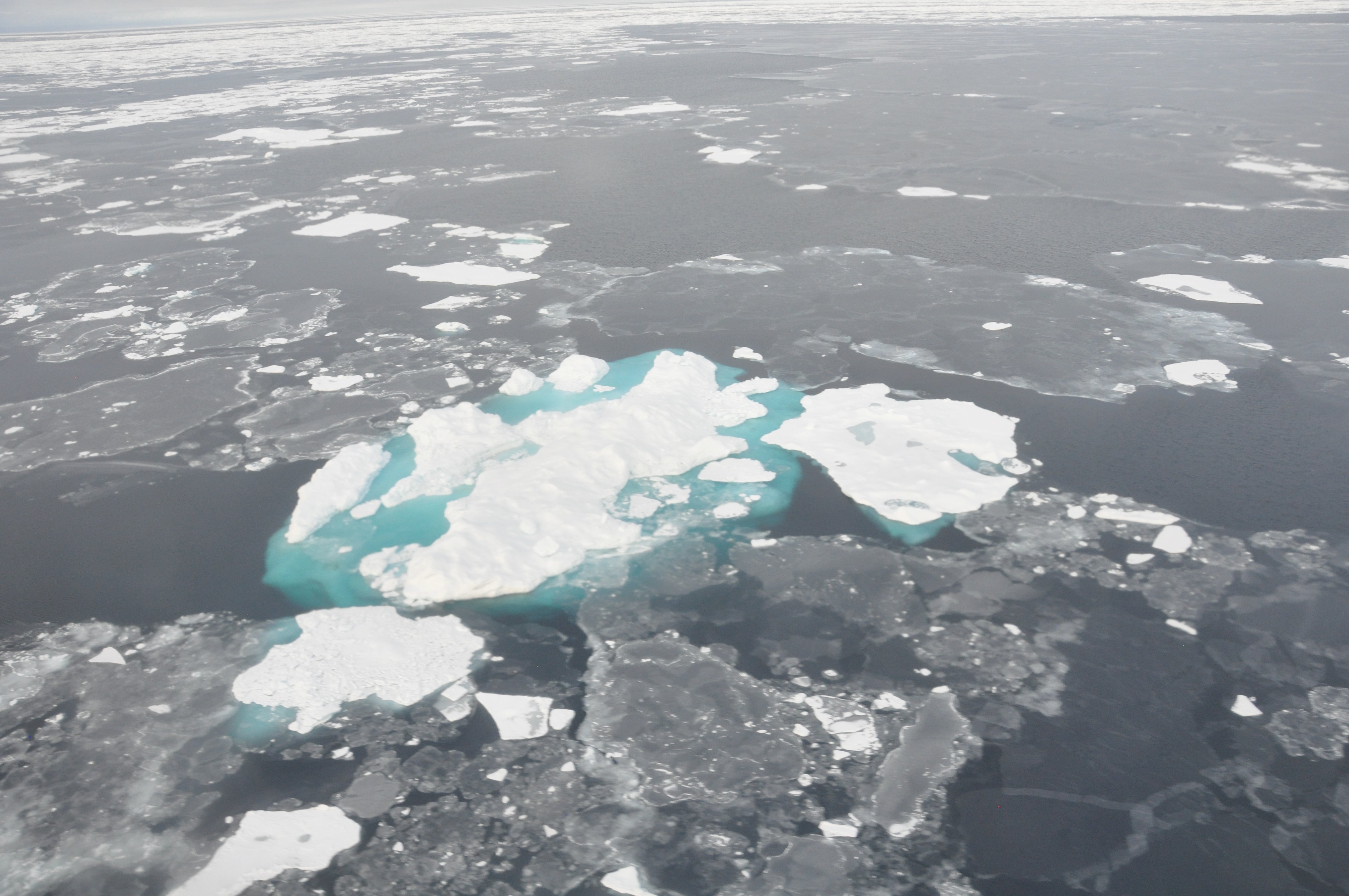
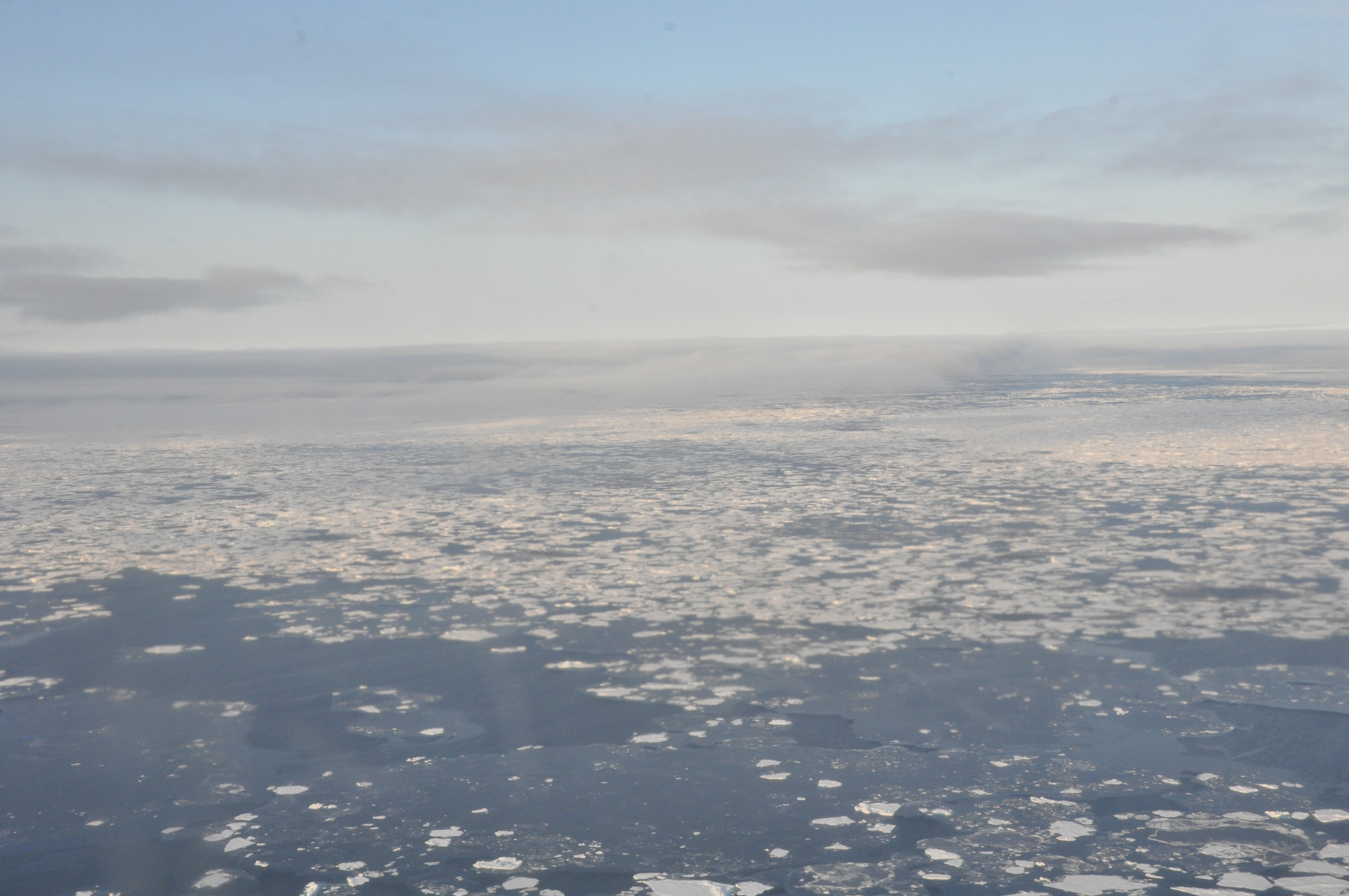
- Arctic sea ice in Beaufort/Chuckchi Seas seen from NOAA's P3 flight in autumn 2014 (P3flights2014.zip) - Credit NOAA PMEL
- DSC_2043.jpg - First year ice with leads
- DSC_2063.jpg - Sea ice which is becoming 2nd year ice with pressure ridges and 'finger rafting' in the lower left.
- DSC_2071.jpg - Sea ice which is becoming 2nd year ice with pressure ridges
- DSC_2072.jpg - Lead with nilas (newly forming) sea ice
- DSC_2073.jpg - Second year ice (white) and "young gray white" first year ice
- DSC_2074.jpg - Wind ripples on an open lead. Second year ice (white) and "young gray white" first year ice
- DSC_2076.jpg - Wind ripples on an open lead. Second year ice (white) and "young gray white" first year ice. Nilas (new) ice between ripples and "young gray white ice".
- DSC_2077.jpg - Frozen lead with second year ice (white) and "young gray white" first year ice.
- DSC_2078.jpg - Second year ice (white) and "young gray white" first year ice. Nilas (new) ice (blue) and "young gray white ice".
- DSC_2238.jpg - Chunk of older ice in a sea of new ice.
- DSC_2284.jpg - Pancake ice
- mvi_0262_clean.mp4 - Video footage from P3 flying over Arctic sea ice
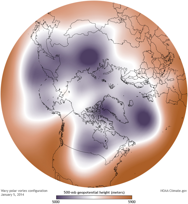
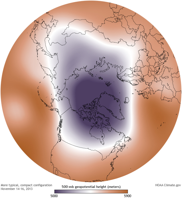
- Maps showing the polar vortex - Maps show the 500-millibar geopotential height (the altitude where the air pressure is 500 millibars). The cold air of the polar vortex is purple. - Credit : Maps by NOAA Climate.gov, based on NCEP Reanalysis data from NOAA ESRL Physical Sciences Division. Reference: http://www.climate.gov/news-features/event-tracker/wobbly-polar-vortex-triggers-extreme-cold-air-outbreak
- Typical compact configuration January 5, 2014
- Wavy polar vortex configuration mid-November 2013
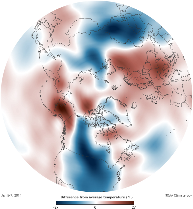
- Maps showing Air temperatures (1000mb) for January 5-7, 2014, compared to the 1981-2010 average. Credit; Map by NOAA Climate.gov, based on NCEP Reanalysis data provided by NOAA ESRL Physical Sciences Division. Reference: http://www.climate.gov/news-features/event-tracker/polar-vortex-brings-cold-here-and-there-not-everywhere
- Tundra
- Polar bears
- Polar Bear with cubs from Wikimedia Commons. Credit: Steve Amstrup, U.S. Fish and Wildlife Service
- Solitary Polar Bear - from Wikimedia Commons. Credit: Ansgar Walk
- Polar bear images from the NOAA Photo Library
- Images showing connections of Arctic atmosphere to lower latitudes
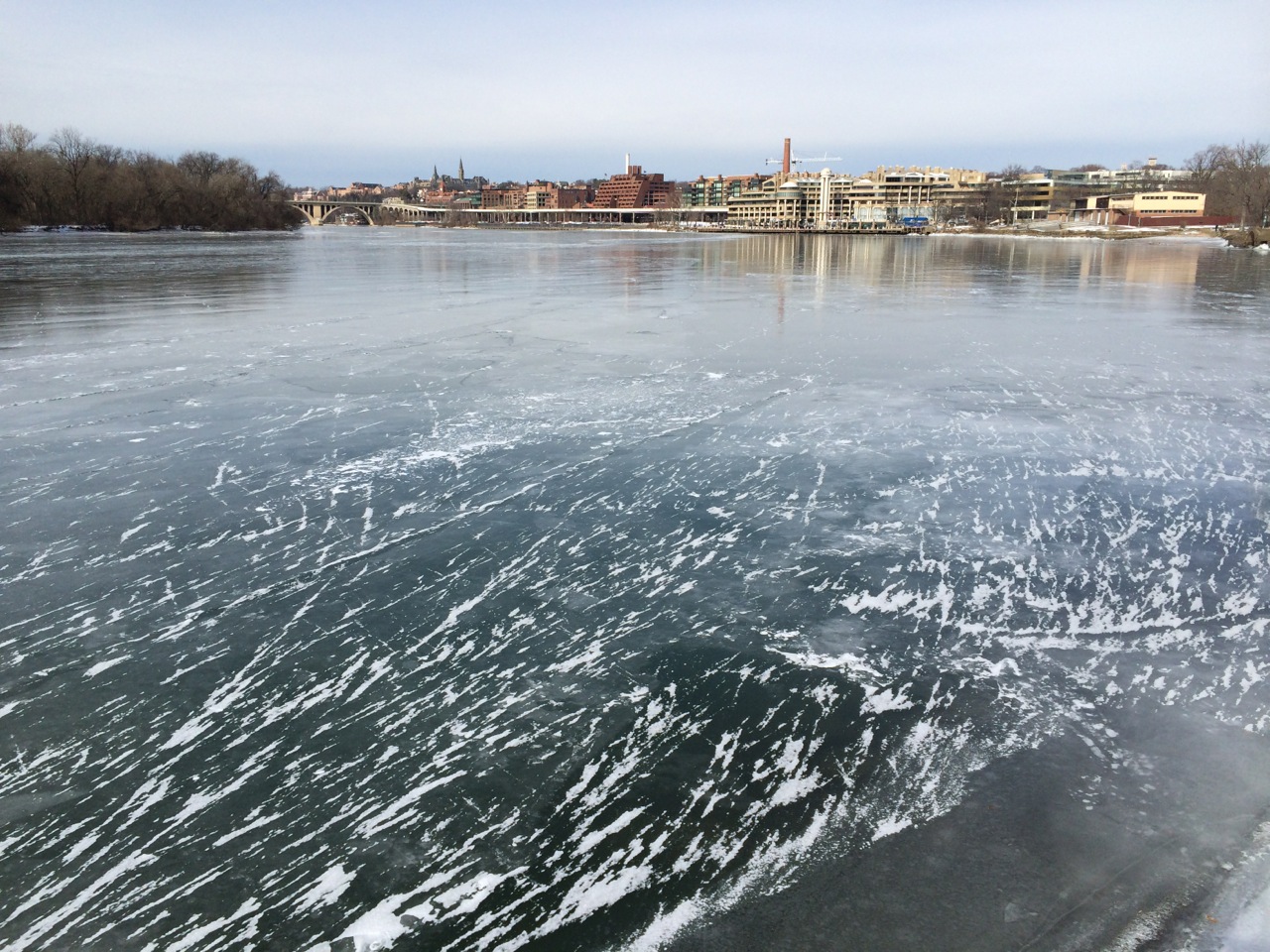
- Looking across the frozen Potomac River to the Georgetown Waterfront, 26 January 2014. Credit: Martin Jeffries
- Frozen fields - from Holly's Blog. Credit Holly Davis.
- Bering Sea Pytoplankton (cocolithophore) bloom images. Credit: NASA
Visual highlights from Climate.gov
Additional Arctic images are available from the Arctic Theme Page Photo Gallery
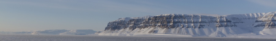
Banner Image: Ice pack figure (Moskushamn, Svalbard, Svalbard and Jan Mayen); Photo by Luc Jamet via Flickr