Map Page < 1 2 3 4 5 6 7 8 9 10 11 12 >
Go to the U.S. station at Point Barrow |
|
|
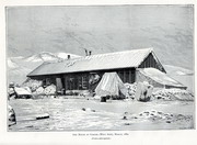
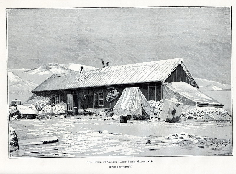
Our house at Conger (west side), March 1882. (From a photograph.) |
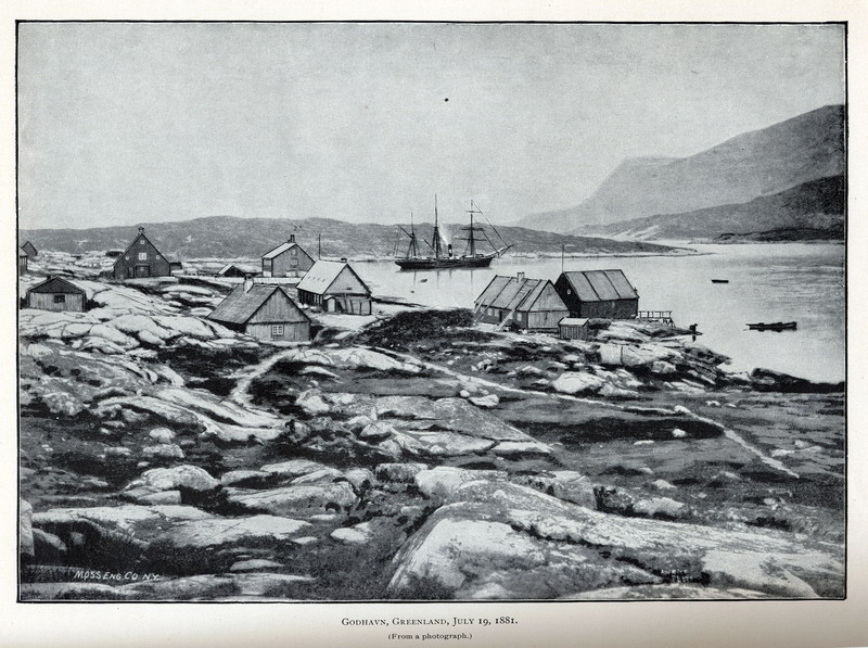
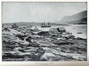 Godhavn, Greenland, July 19, 1881. (From a photograph)
|
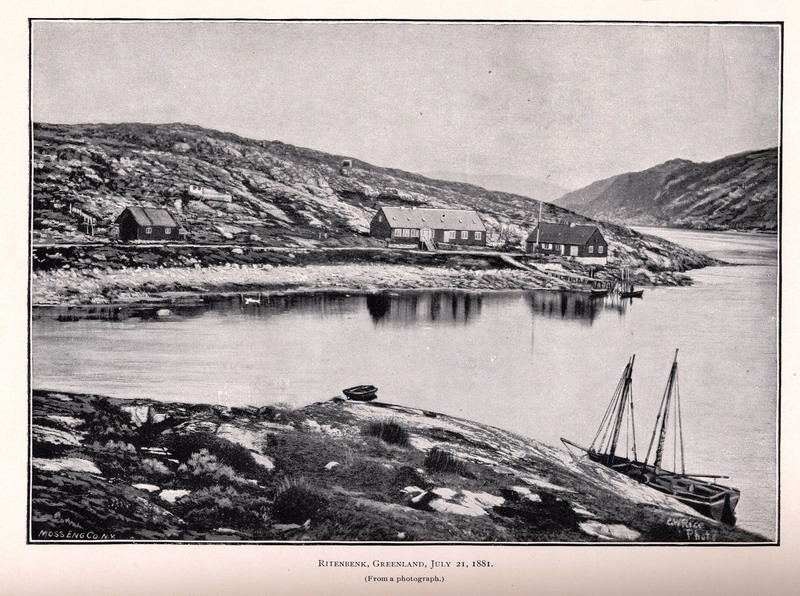
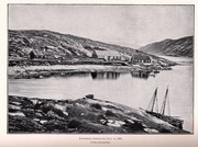 Ritenbenk, Greenland, July 21, 1881. (From a photograph.)
|
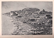
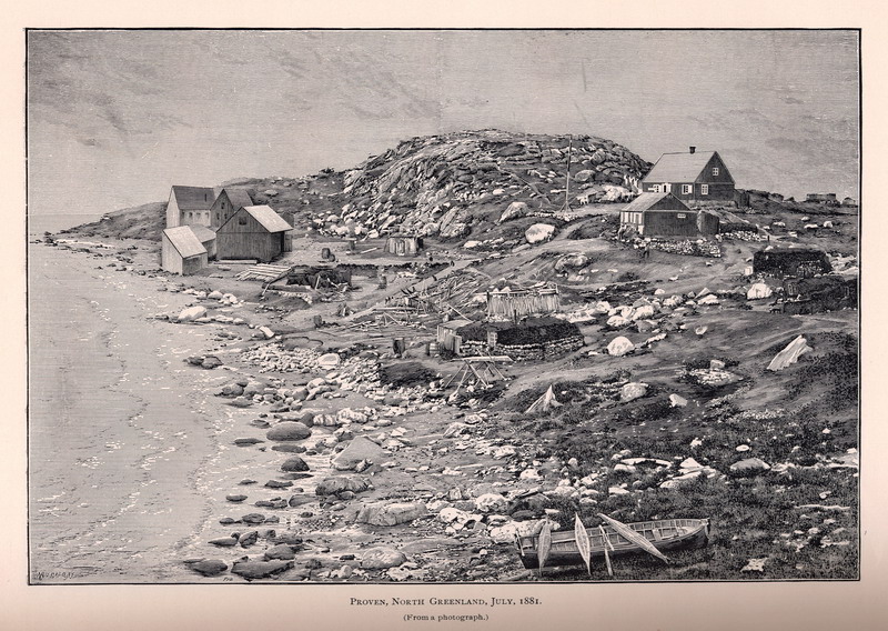
Proven, North Greeland, July, 1881. (From a photograph.)
|
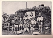
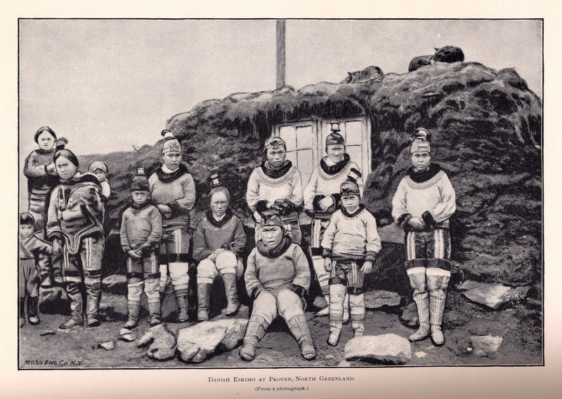
Danish Eskimo at Proven, North Greenland. (From a photograph.)
|
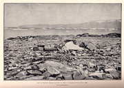
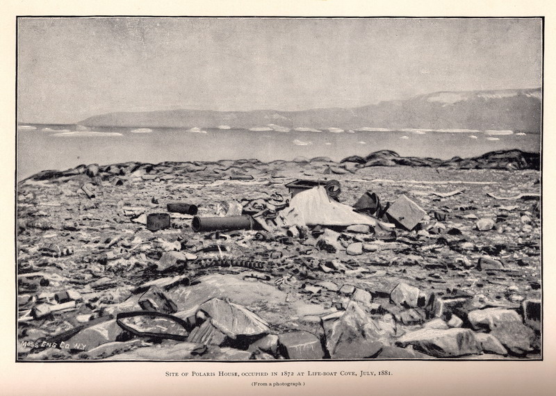
Site of Polaris House, occupied in 1872 at Life-boat cove, July, 1881. (From a photograph.)
|
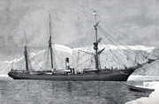
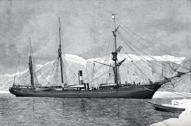
Proteus in ice, entrance to Discovery Harbor, August 12, 1881. (From a photograph.)
|
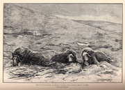
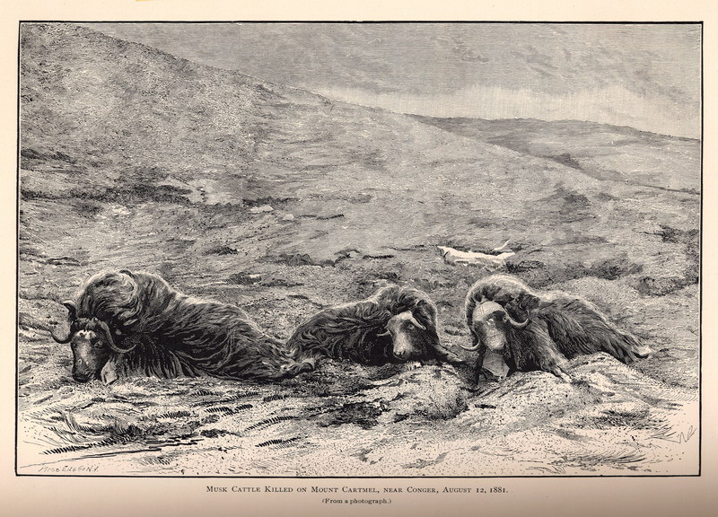
Musk cattle killed on Mount Cartmel, near Conger, August 12, 1881. (From a photograph.) |
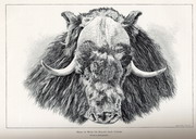
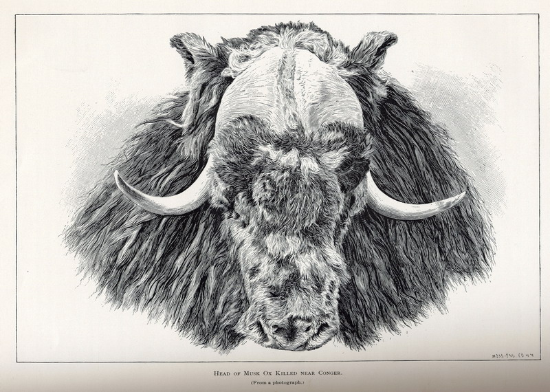
Head of Musk Ox killed near Conger. (From a photograph.)
|
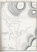
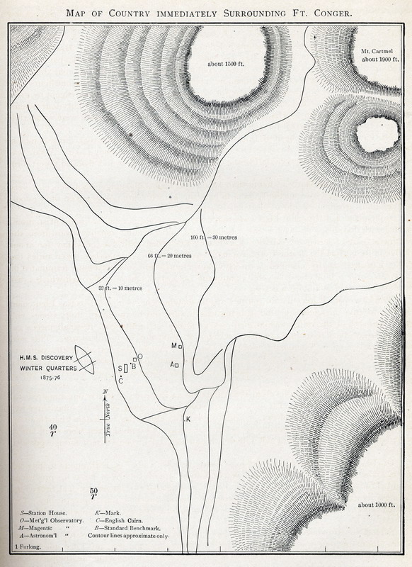
Map of country immediately surrounding Ft. Conger.
|
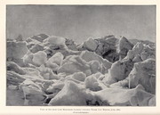
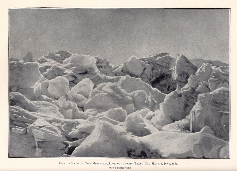
View of ice from Cape Murchison, looking toward Thank God Harbor, June, 1882. (From a photograph.) |
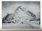
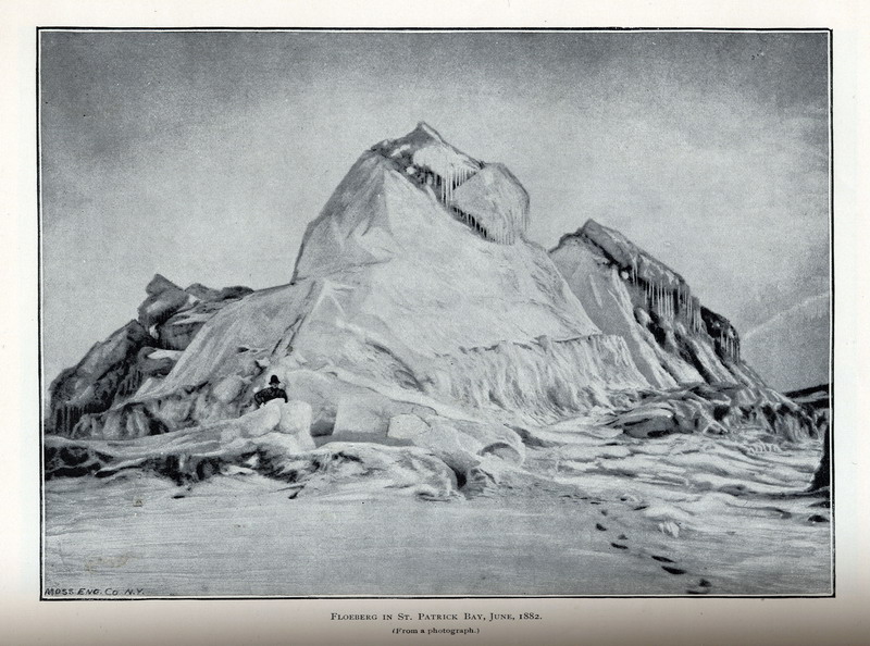
Floeberg in St. Patrick Bay, June, 1882. (From a photograph.) |
Map Page < 1 2 3 4 5 6 7 8 9 10 11 12 >
Go to the U.S. station at Point Barrow |
|
|
