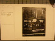
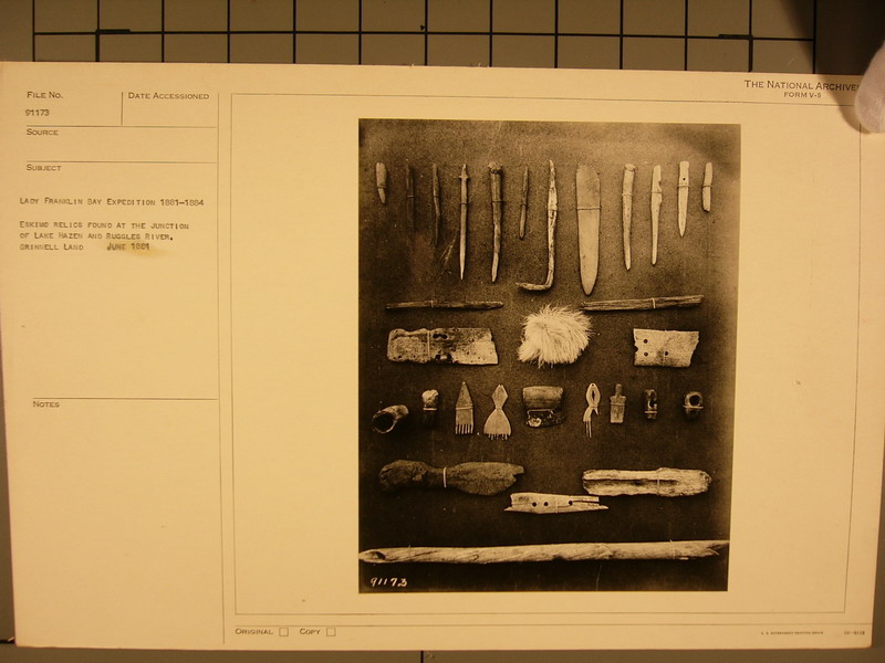
Eskimo relics found at the junction of Lake Hazen and Ruggles River, Grinnell Land, June 1881. |
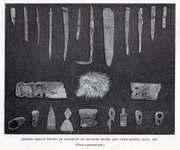
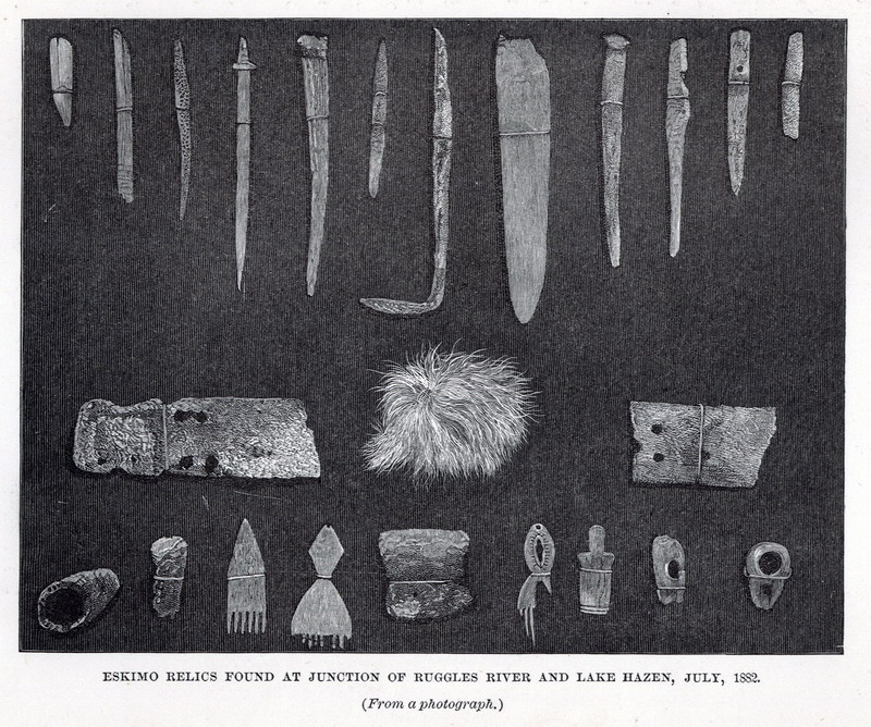
Eskimo relics found at the junction of Ruggles River and Lake Hazen, July, 1882. ( From a photograph.) |
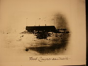
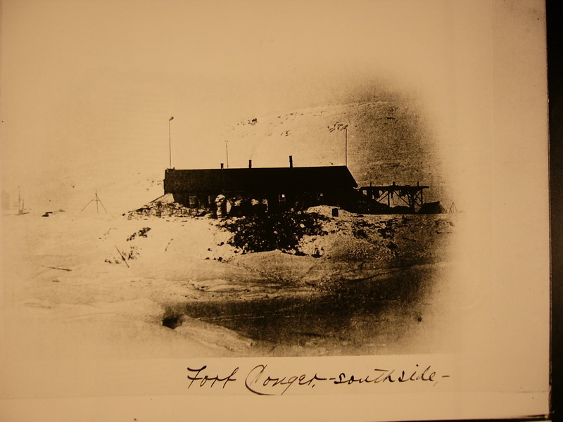
Fort Conger – south side |
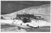
Fort Conger, Grinnell Land, May 20, 1883
|
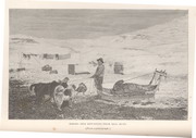
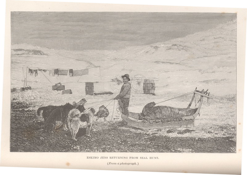
Eskimo Jens returning from seal hunt. (From a photograph.) |
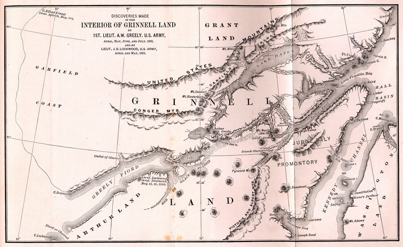
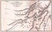 Discoveries made in the Interior of Grinnell Land by 1 st Lieut. A.W. Greely, U.S. Army. |
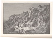
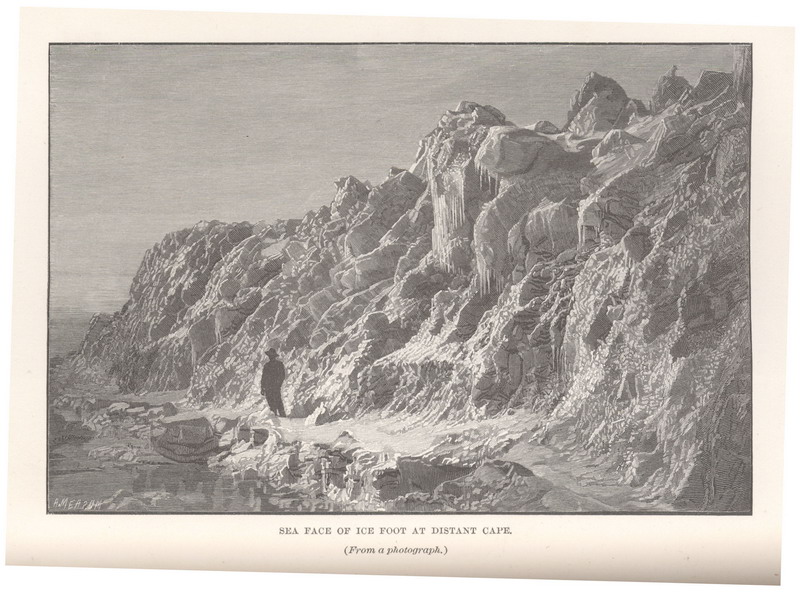
Sea face of ice-foot at Distant Cape. (From a photograph.) |
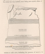
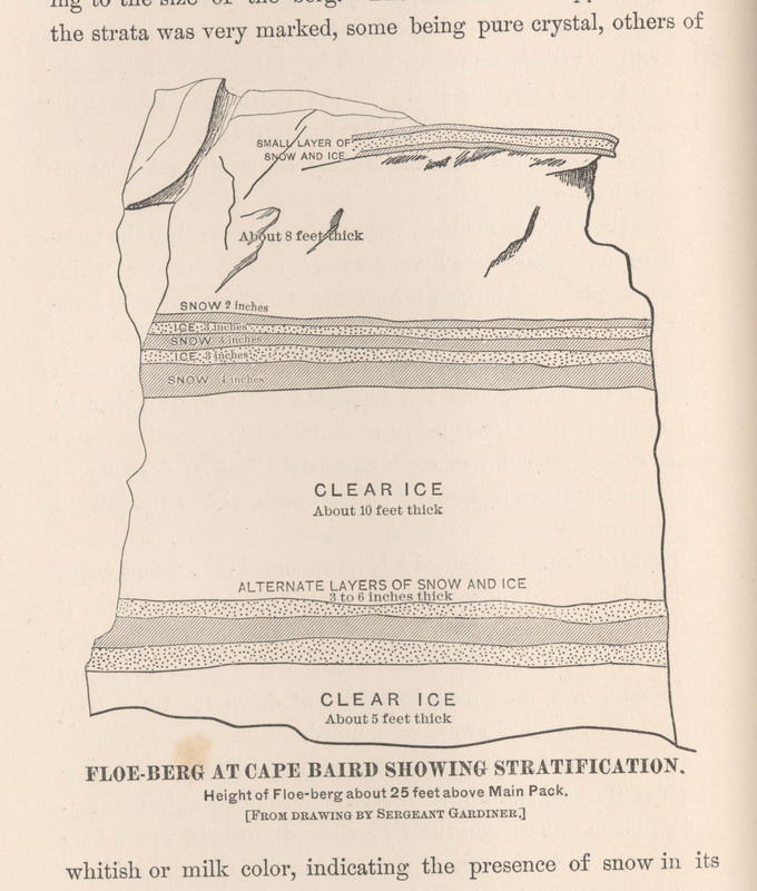
Floe-berg at Cape Baird showing stratification. Height of Floe-berg about 25 feet above Main Pack. [From a drawing by Sergeant Gardiner.]
|
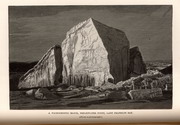
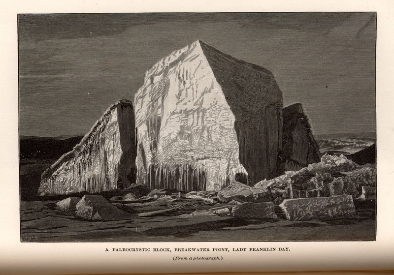
A paleocrystic block, Breakwater Point, Lady Franklin Bay. (From a photograph.)
|
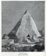
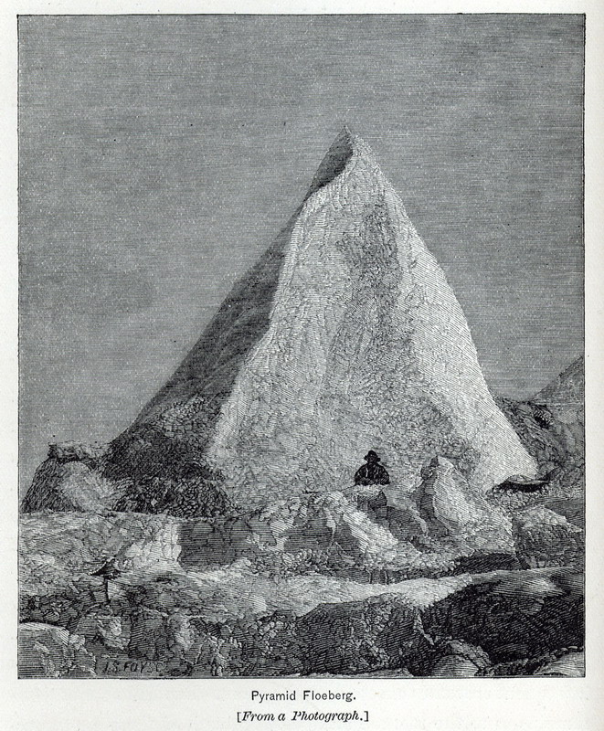
Pyramid Floeberg. [From a Photograph.]
|
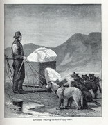
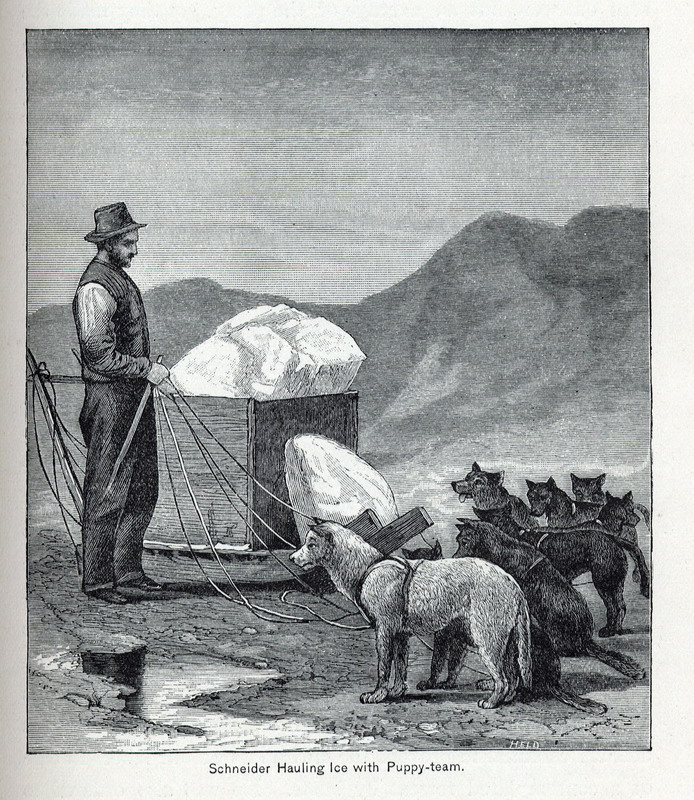
Schneider Hauling Ice with Puppy-team. |
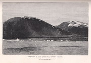
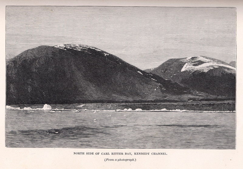
North side of Carl Ritter Bay, Kennedy Channel. (From a photograph.) |
Map Page < 1 2 3 4 5 6 7 8 9 10 11 12 >
Go to the U.S. station at Point Barrow |

