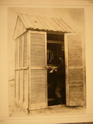
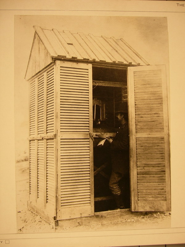
Sgt. Winfield Jewell taking meteorological observations at Fort Conger, Grinnell Land, August 1882. |
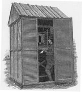
Observer making Temperature Observations at Fort Conger . |
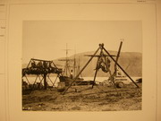
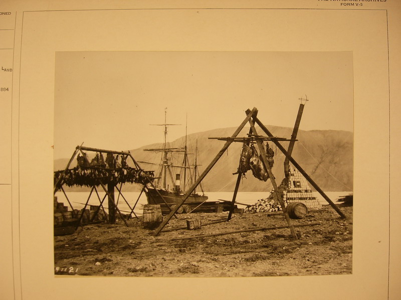
Game stand, Fort Conger, Grinnell Land. SS Proteus in harbor. Lady Franklin Bay Expedition, 1881-1884. |
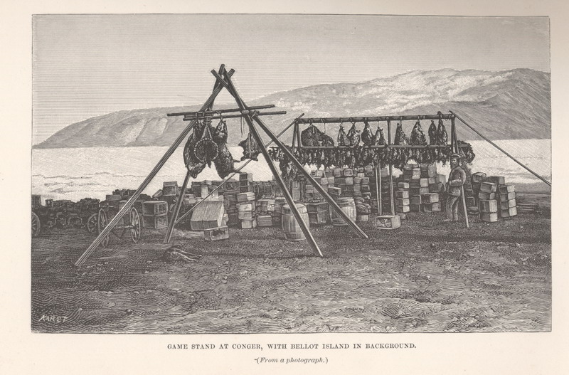
Game-stand at Conger, with Bellot Island in background. ( From a photograph.)
|
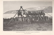
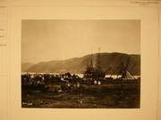 Expeditionary stores and game stand, Discovery Harbor, Grinnell Land. SS Proteus in background. Post Office cairne on right. August, 1881. |
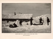
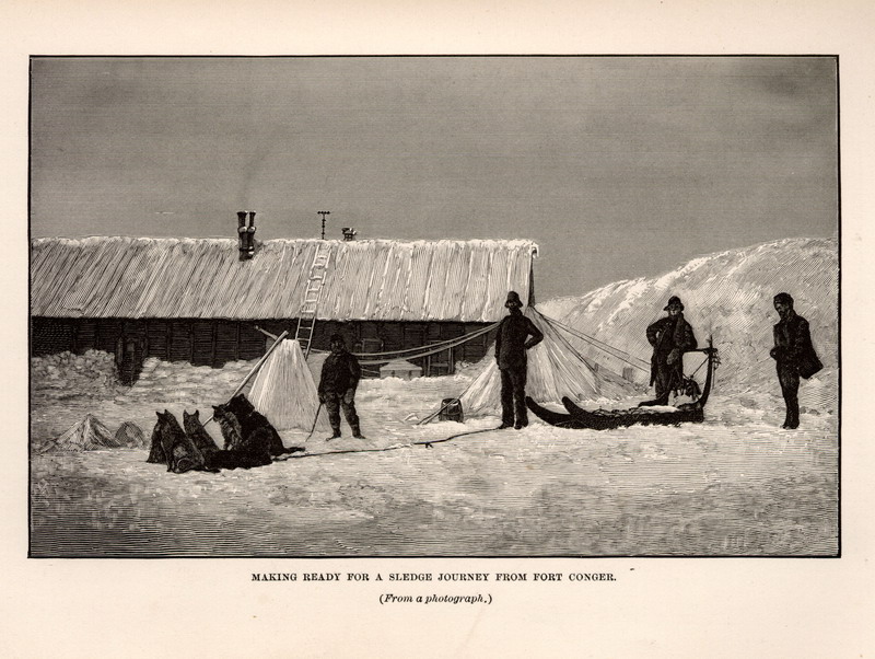
Making ready for a sledge journey from Fort Conger. ( From a photograph.) |
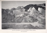
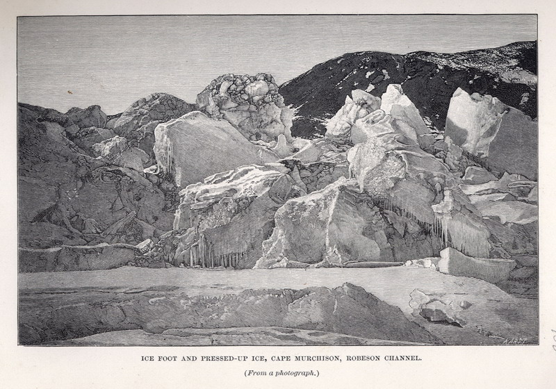
Ice-foot and pressed up ice, Cape Murcheson, Robeson Channel. ( From a photograph.) |
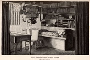
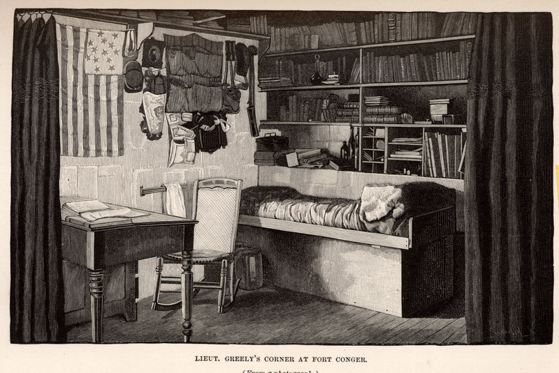
L ieutenant Greely’s corner, at Fort Conger. ( From a photograph.)
|
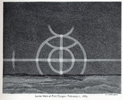
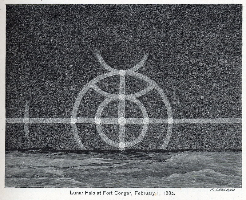
Lunar Halo at Fort Conger, February 1, 1882.
|
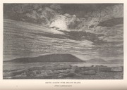
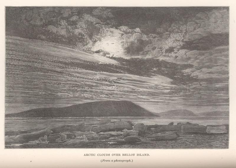
Arctic clouds over Bellot Island. ( From a photograph.)
|
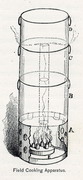
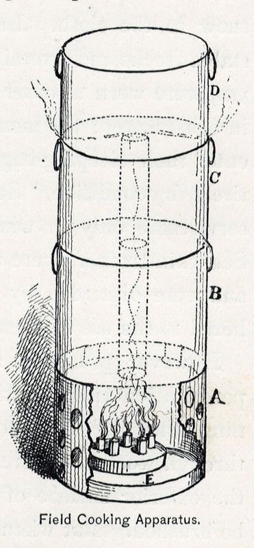
Field Cooking Apparatus. |
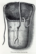
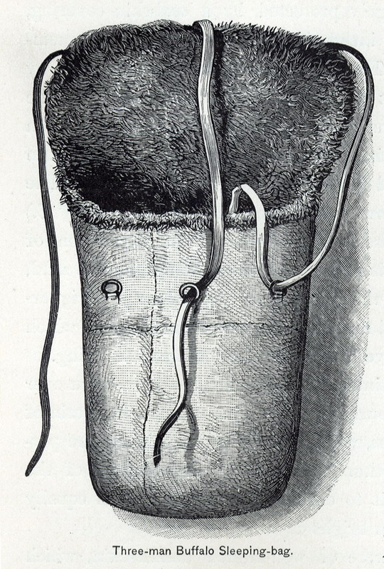
Three-man Buffalo Sleeping-bag. |
Map Page < 1 2 3 4 5 6 7 8 9 10 11 12 >
Go to the U.S. station at Point Barrow |

