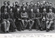
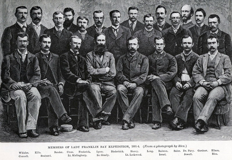
 Members of Lady Franklin Bay Expedition, 1881-84. ( From a photograph by Rice.) |
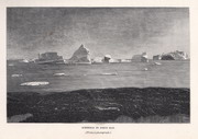
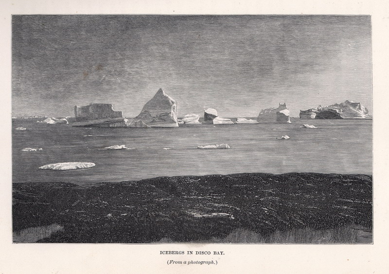
Icebergs in Disco Bay . (From a photograph.) |
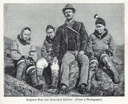
Sergeant Rice and Greenland Eskimo. (From a photograph.) |
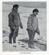
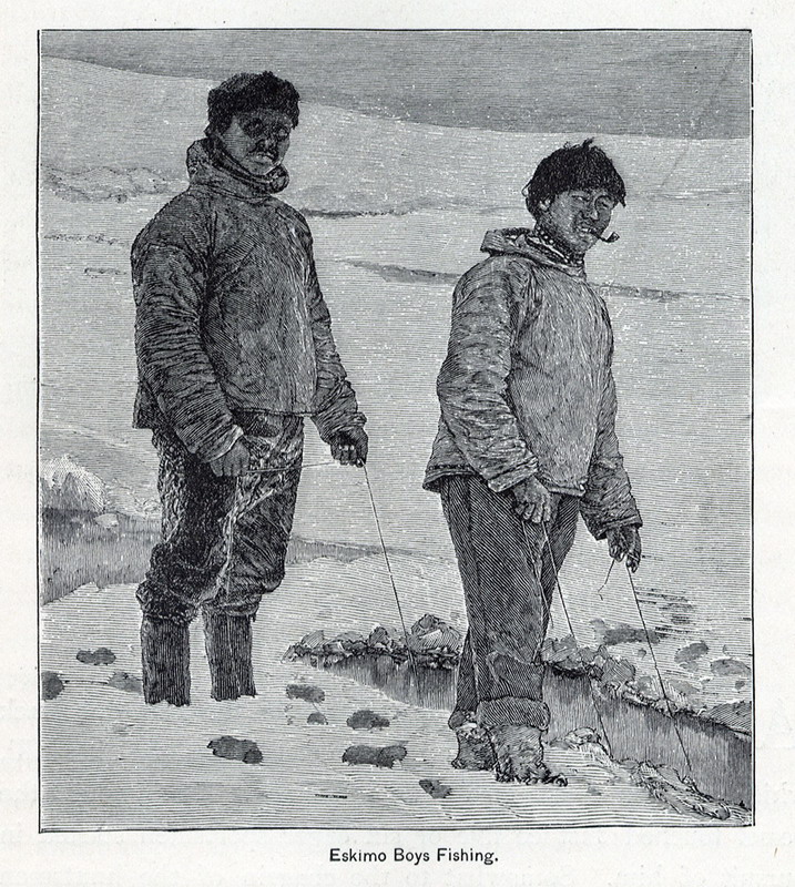
Eskimo Boys Fishing.
|
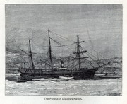
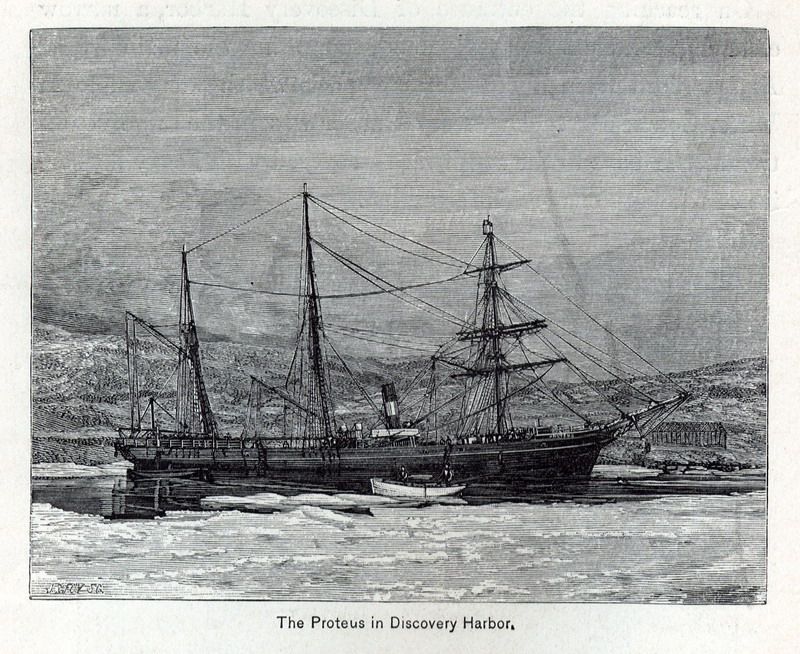
Proteus in Discovery Harbor. |
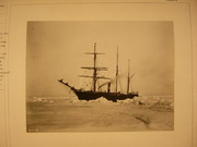
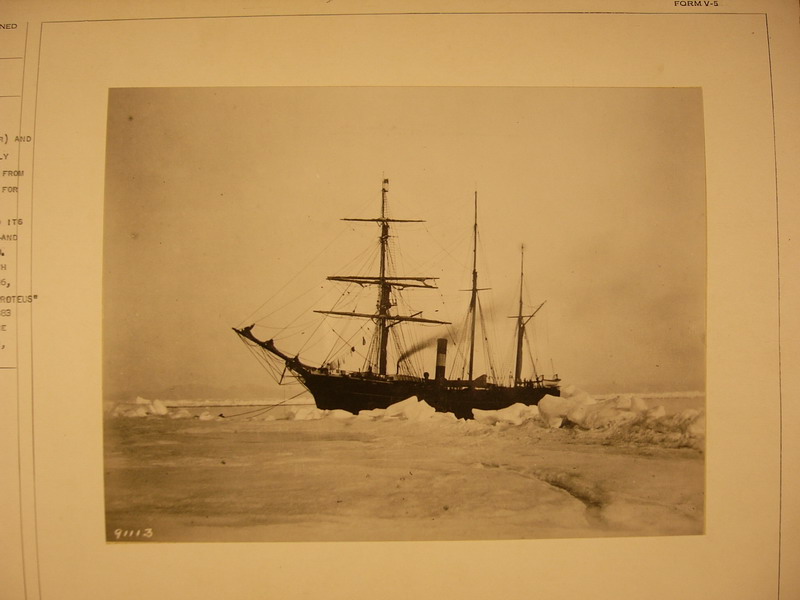
SS “Proteus” (formerly a steam sealer) and hired by U.S. to be used by the Greely Lady Franklin Bay expedition. |
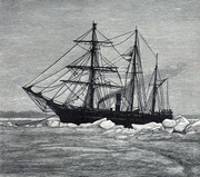
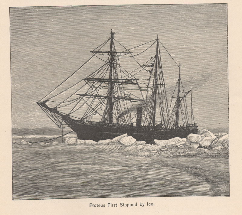
Proteus first stopped by ice. |
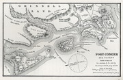
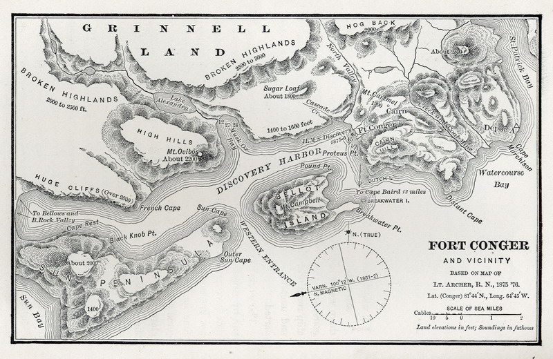
Fort Conger and vicinity. Based on map of Lt. Archer, R.N., 1875 ’76. |

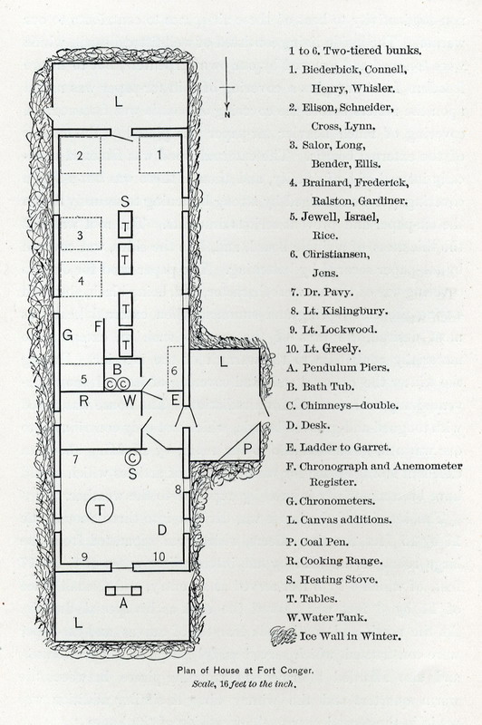
Plan of House at Fort Conger.
|
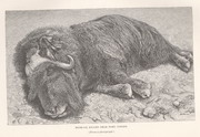
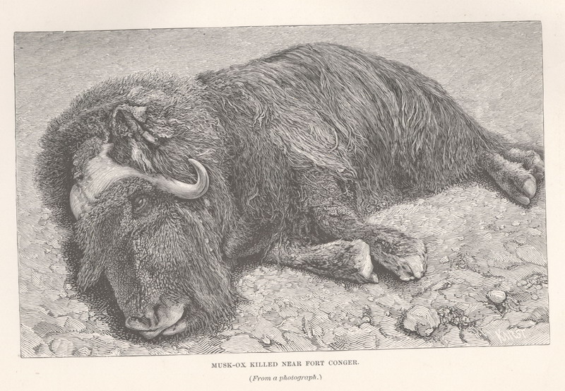
Musk ox killed near Fort Conger.
|

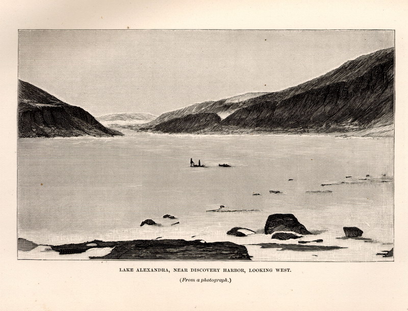
Lake Alexandra, near Discovery Harbor, looking west. ( From a photograph.) |
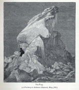
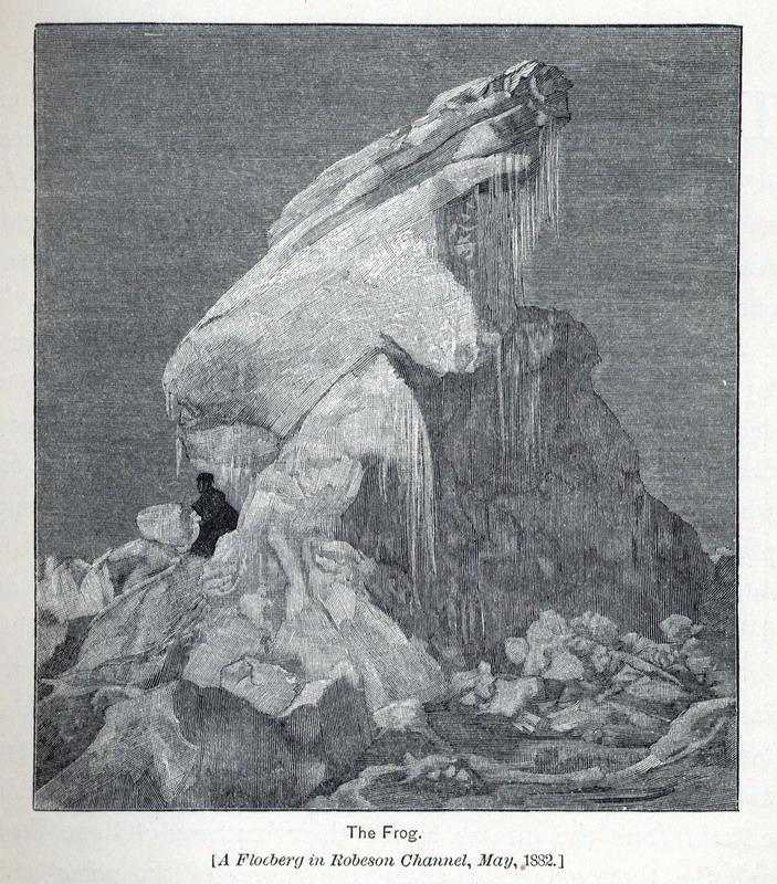
The Frog. [A Floeberg in Robeson Channel, May, 1882.] |
Map Page < 1 2 3 4 5 6 7 8 9 10 11 12 >
Go to the U.S. station at Point Barrow |

