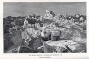
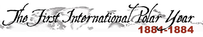
“The Arctic Highway ”—rubble and hummocky ice. (From a photograph.) |
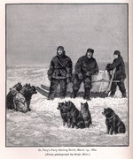
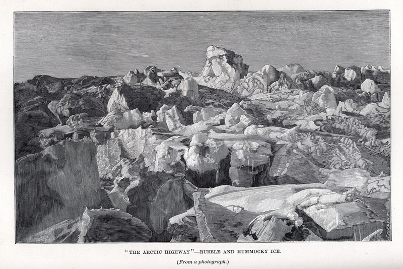
Dr. Pavy’s Party Starting North, March 19, 1882 . [From photograph by Sergt. Rice.] |
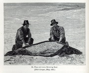
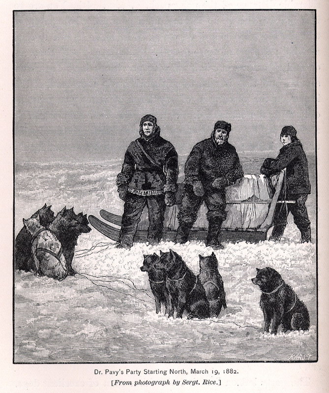
Dr. Pavy and Jens Skinning Seal. [ Fort Conger, May, 1882.] |
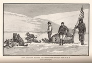
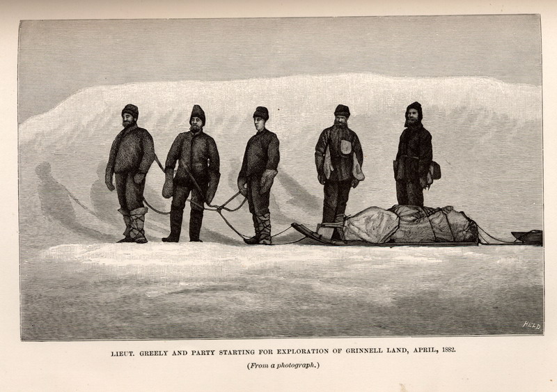
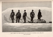 Lieutenant Greely and party starting for exploration of Grennell Land, April, 1882. ( From a photograph.)
|
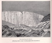
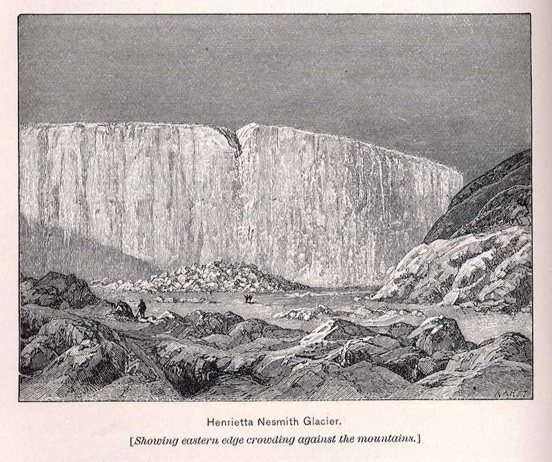
Henrietta Nesmith Glacier. [Showing eastern edge crowding against the mountains.] |
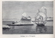
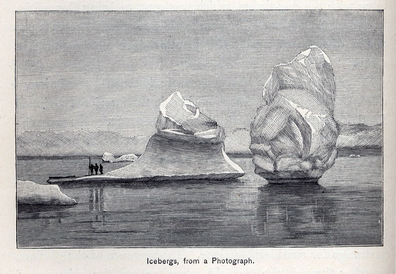
Icebergs, from a Photograph. |
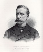
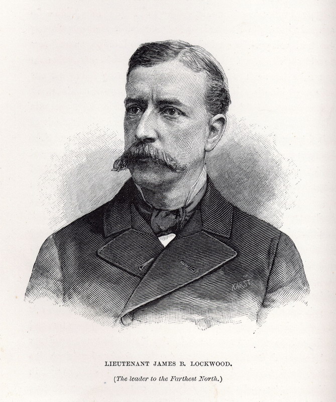
Lieutenant James B. Lockwood. (The leader to the Farthest North.) |
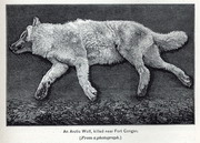
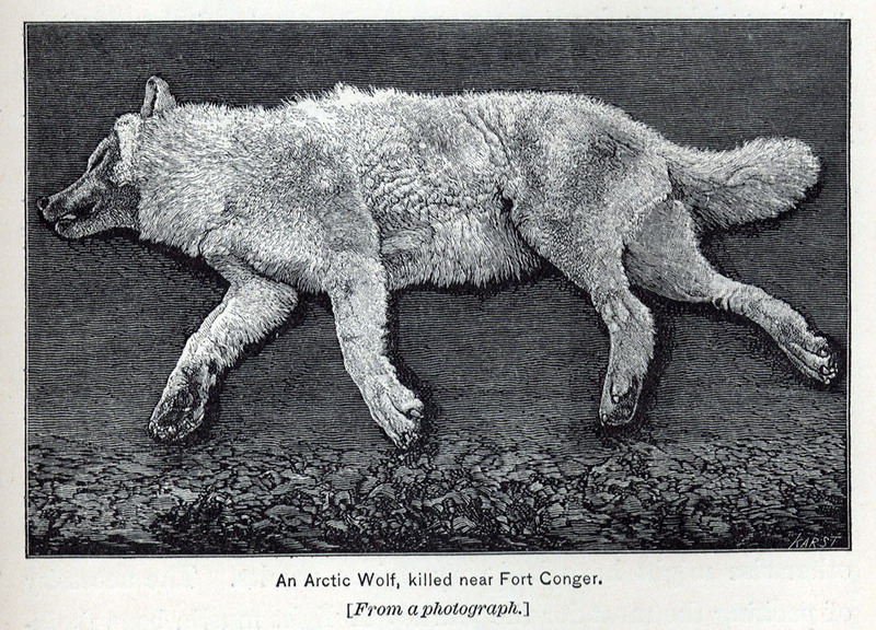
An Arctic Wolf, killed near Fort Conger. [From a photograph.]
|
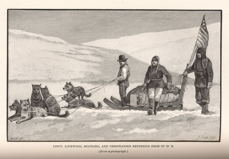
 Lieutenant Lockwood, Brainard, and Christiansen returning from 83° 24’ N. ( From a photograph.)
|
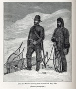
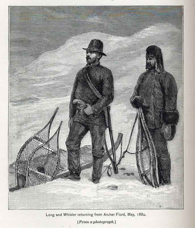
Long and Whisler returning from Archer Fiord, May, 1882. ( From a photograph.)
|
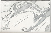
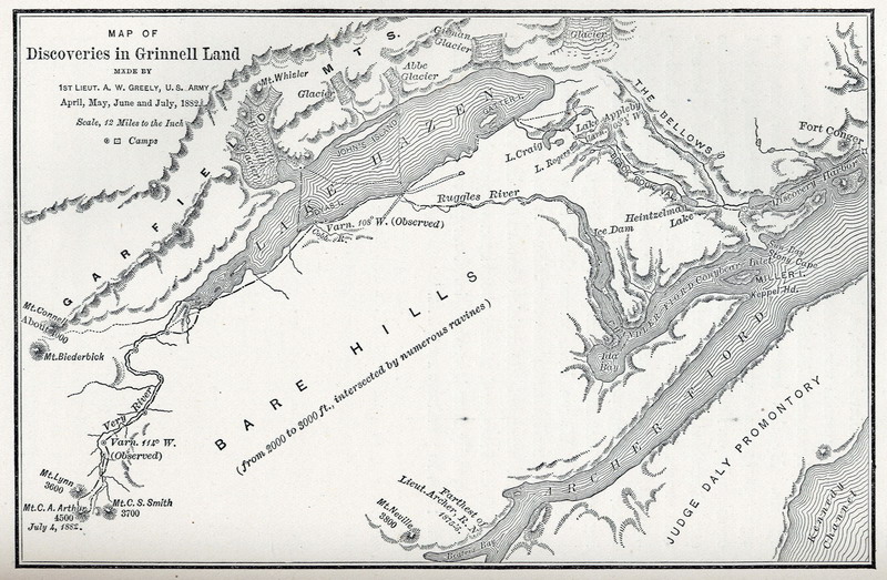
Map of Discoveries in Grinnell Land . |
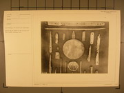
Eskimo relics found in the vicinity of Fort Conger, Grinnell Land. |
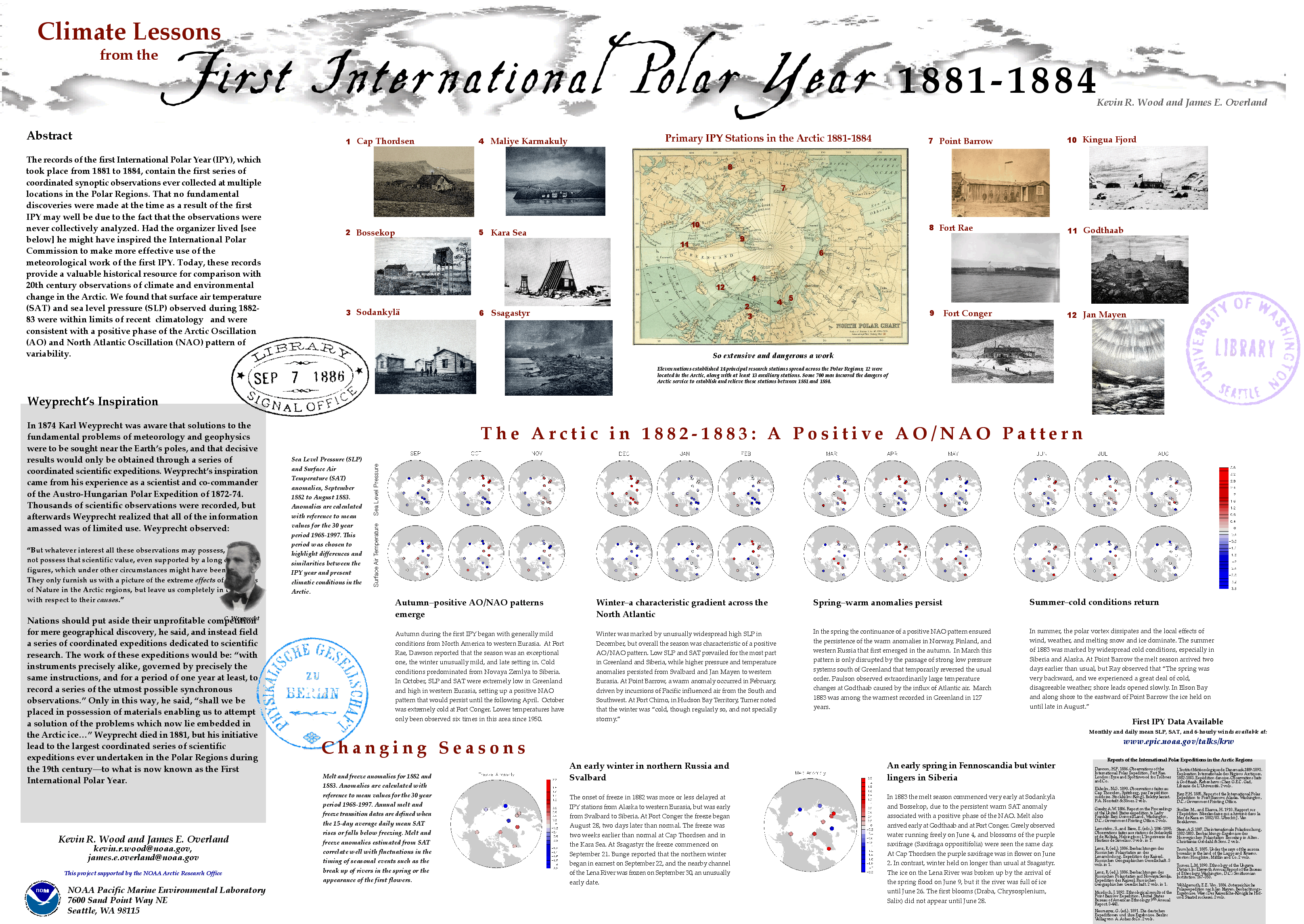
Map Page < 1 2 3 4 5 6 7 8 9 10 11 12 >
Go to the U.S. station at Point Barrow |
