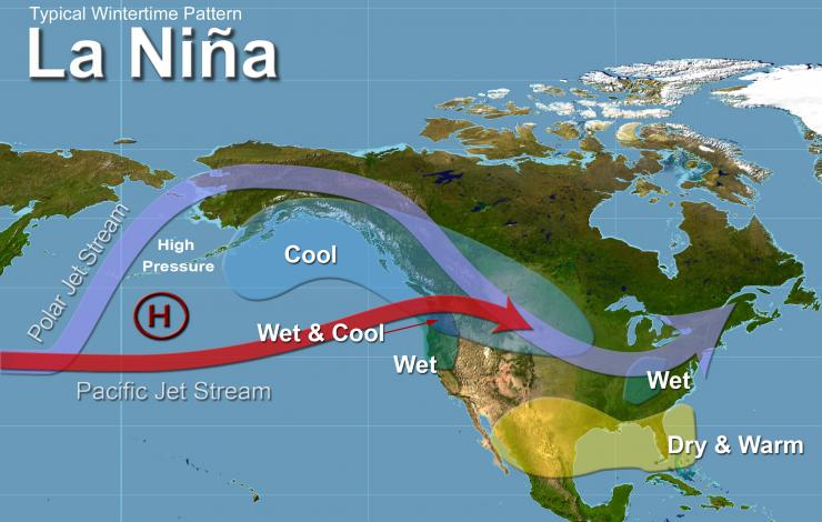
A newly updated FAQ answers questions about La Niña, including explanations, detection, impacts and relationship to severe weather events such as hurricanes and tornados.
La Niña is defined as cooler than normal sea-surface temperatures in the central and eastern tropical Pacific ocean that impact global weather patterns. La Niña conditions recur every few years and can persist for as long as two years.
El Niño and La Niña are extreme phases of a naturally occurring climate cycle referred to as El Niño/Southern Oscillation, and both terms refer to large-scale changes in sea-surface temperature across the eastern tropical Pacific.
Both La Niña and El Niño tend to peak during the Northern Hemisphere winter.
To learn more, check out the La Niña FAQs, What is La Niña?, Today's El Niño / La Niña Status, the latest El Niño Forecasts, and El Niño YouTube videos.


