
 |
| Home | Daily Log | About the Research | Images and Video | Maps | Data | Q&A | Links |
|
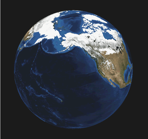
This earth image was generated by World Wind (1.3.3), a 3D interactive, open source software ensemble created by NASA. The software uses many sources of satellite images in addition to topographic maps to allow the user to zoom into any place on the globe. |
| Privacy | Disclaimer | Accessibility | Contact Us |