Ecosystems Fisheries-Oceanography Coordinated Investigations EcoFOCI Bering Sea Ice

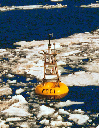
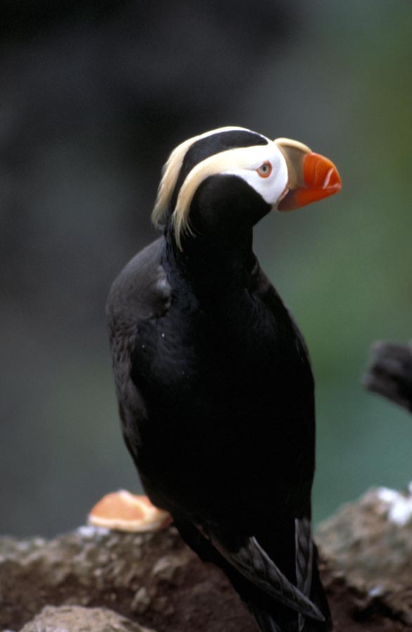
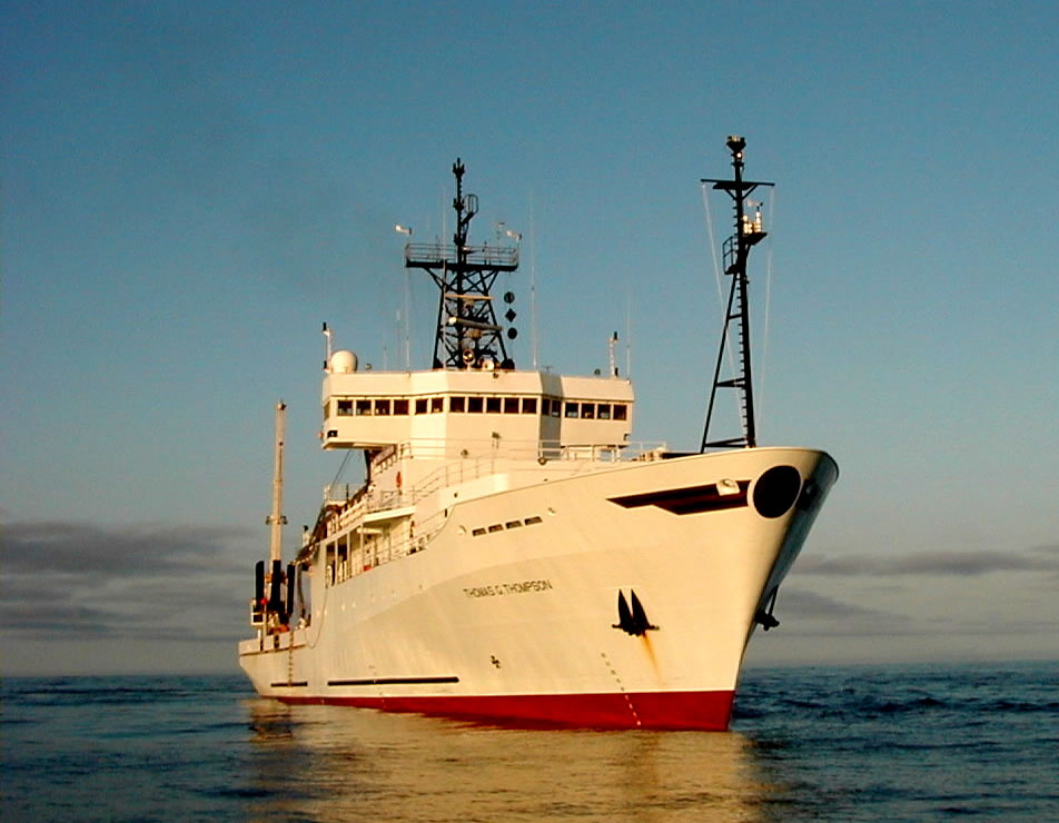
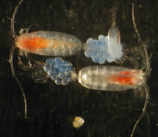
Bering Sea-Ice Expedition
Home Page Photos

FOCI (Fisheries Oceanography Coordinated Investigations) surface buoy in ice at M2 mooring in the Bering sea southeast of the Priblof Islands. Photo From the Miller Freeman photo collection.
Tufted puffin, a bird that resides in the Bering Sea region. Photo thanks to the US Fish and Wildlife Service Alaska Image Library.
Research Vessel Thomas G. Thompson from the University of Washington. This is one of the two ships participating in our Bering Sea Ice-Edge Expedition. Photo from Univeristy of Washington Oceanography Martech.
Microscopic photo of two copepods with egg sacs. Photos by Matt Wilson and Jay Clarke. Archived in the NOAA Photo Library.
An ice map of the Bering Sea for 1995. This map is average ice cover for the month. The colors designate percent areal coverage. So the number 6 on a contour line means 6/10 (six tenths) or 60% coverage in an area within that line and up to the next numbered line. Plot thanks to Sigrid Salo.
A CTD (Conductivity, Temperature and Depth) package, a vital piece of equipment for the work done in Physical Oceanography. Data is recorded every 6 seconds in the water column as the CTD is lowered to near-bottom then back to surface. The tall Niskin bottles can be closed at chosen depths to grab water samples. Photo by P.Sullivan.
A Ribbon Sea with transmitter attached. The transmitter is attached with epoxy and the seal swims with it sending back information via satellite. The transmitter can relay depth, wet/dry (in water, hauled out), and temperature. When the seal's coat is shed in the spring the transmitter is also shed. Photo By Mike Cameron.

NOAA - National Oceanic and Atmospheric Administration