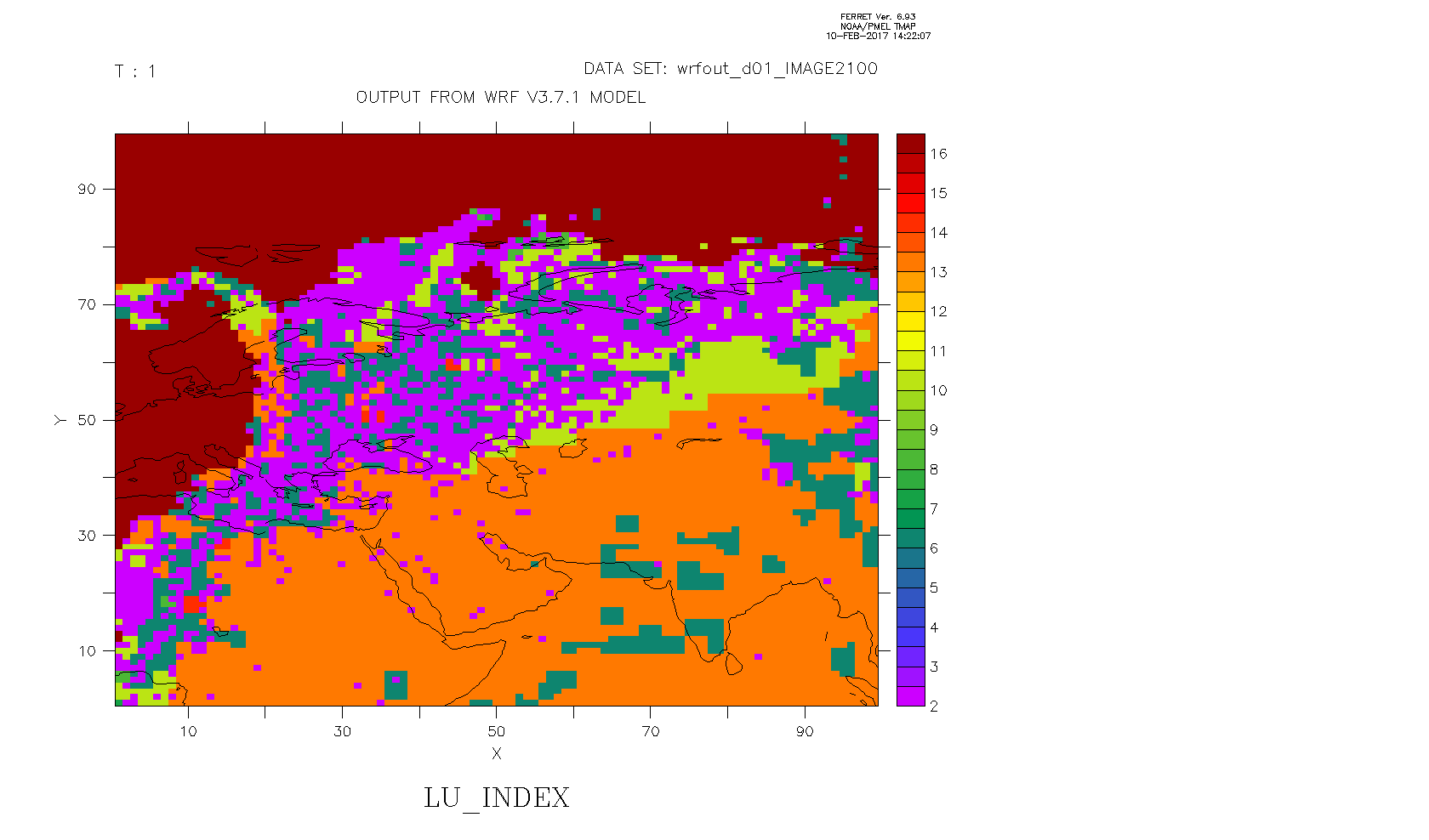
I have a netCDF dataset containing various data like land use, surface height and x and y longtitudes. The are I am interested in is Colombia, with longitudes and lattitudes: 81W:60W and 9S:18N.
I would like to make a graphic of a variable (land use in this case) and include a land overlay map. I enclosed a picture to show the problem.
To plot the geographical borders I used the go land script. I can't get the map on the right geographical region and plot for example land use at the same time. No matter what I do it keeps showing central eurasia as soon as I plot my variable. I think it has something to do with the fact that the data is on x/y axes.
How can I make a plot of my data and the geographical borders at the same time?
Thanks in advance,
Gijs