Cape Elizabeth
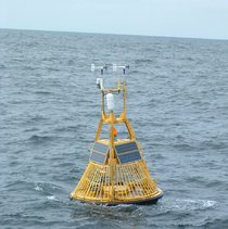
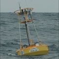
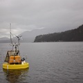
National Data Buoy Center buoy at Cape Elizabeth, WA (47.35°N 124.73°W)
The U.S. Northwest coast is a region of dynamic and intense carbon cycling and may be particularly vulnerable to ocean acidification due to a combination of anthropogenic and natural processes. Along the U.S. West Coast, winds blow from north to south during spring and summer months, displacing surface water offshore. Deeper water rich in CO2 and nutrients and depleted in O2 upwells to the surface nearshore to replace the displaced surface water. This upwelling results in very high frequency variability in many parameters. In an effort to document the temporal patterns and magnitude of this variability, the PMEL carbon group deployed a MAPCO2TM system on a NOAA National Data Buoy Center (NDBC) mooring off the Washington State coast on June 21, 2006. The NDBC mooring 46041 is located 45 nautical miles Northwest of Aberdeen, Washington. It is located near the edge of the continental shelf in 125 m of water, so it is well situated to document the upwelling events in the spring and summer.
Data availability: archived at NCEI.

