Hello,
I have the following problem:
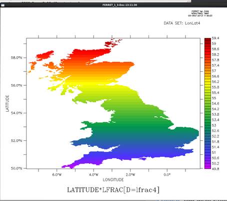
I have a grid with land and ocean points. I want to pick out the land points and unravel them on a 1 dimensional vector. I have a land sea mask, and I can generate lats and lons as 2 dimensional fields, e.g. see the map of the latitudes
below.
I know how many points overall on the grid and how many land points.
I can do an xsequence on the latitude field, but the results still contains the missing values from the ocean areas. Ideally, I would like just to forget about them.
I guess I could also do an reshape, but that would have the same problem, no?
Any suggestions most appreciated!
Thank you very much,
Cheers,
Joerg
Jörg Kaduk
Senior lecturer
http://www.geog.le.ac.uk/staff/jk61/
t: +44 (0)116 252 3848
Department of Geography, University of Leicester, University Road, Leicester LE1 7RH, UK
Elite Without Being Elitist
Times Higher Awards Winner 2007, 2008, 2009, 2010, 2011, 2012, 2013