Hi Ferret users,
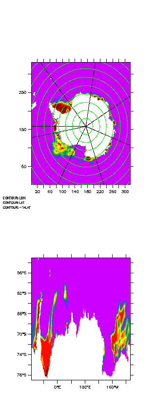
I have some satellite data which consists of variable, longitude and
latitude. A figure is attached (top panel) with lat/lon over plotted. Is
there any way of regridding this data into a regular lon/lat grid,
something like a plot in the bottom figure?
dimensions:
x = 316 ;
y = 332 ;
variables:
float lon(y, x) ;
lon:long_name = "longitude" ;
lon:units = "degrees_east" ;
float lat(y, x) ;
lat:long_name = "latitude" ;
lat:units = "degrees_north" ;
float ice_con(y, x) ;
ice_con:units = "%" ;
Thanks for your help,
-- Prasad
Attachment:
ice_curv.gif
Description: ice_curv.gif