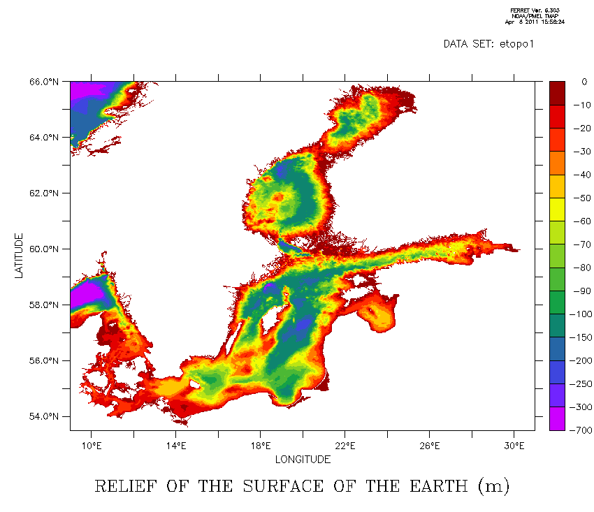
Hi Szymon,Indeed, seems the island Bornholm is shed into the Baltic. Beware off the tsunami. I cannot help you to find the error source in your grid transformation. Nevertheless, do you believe in etopo2 in
the Baltic Sea? Depth of less than 10 m in some areas?

You may want to get a better data set from here:

http://www.io-warnemuende.de/topography-of-the-baltic-sea.html

Greetings,
Martin

Szymon Roziewski wrote:
Dear Ferreters,
I have interpolated some data from curvilinear coordinates into regular.
First of all I computed the array of coefficients of a transform and then I did transform. But what I got as a result somehow embarrassed me because on the left bottom side picture I have a blurred data and I don't know why.I attach two pictures.The first one that I called INPUT_etopo2 is an input of the transform on curvilinear grid. The second is a print of interpolated data onto rectangular grid but with a blur.The region which I concentrated on was X=-5.7:5.5 Y=-2.5:10:0 What has caused this smear? What do you think? Kind regards, Szymon Roziewski
Attachment:
iow_topo.gif
Description: GIF image