2016 West Coast Ocean Acidification Cruise
During the cruise, scientists will assess environmental conditions, as well as the abundance, diversity, and health of marine organisms, including bacteria, phytoplankton, and zooplankton.
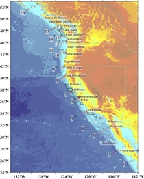
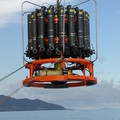
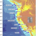
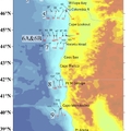
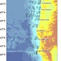
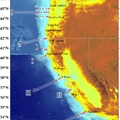
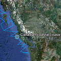
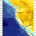
The 2016 cruise represents the most integrated West Coast Ocean Acidification (WCOA) cruise to date. WCOA2016 took place May 5 to June 7, 2016 aboard the NOAA Ship Ronald H. Brown. 132 stations were occupied from Baja California in Mexico to Vancouver Island in Canada along seventeen transect lines. At all stations, CTD casts were conducted, and discrete water samples were collected in Niskin bottles. The cruise was designed to obtain a synoptic snapshot of key carbon, physical, and biogeochemical parameters as they relate to ocean acidification (OA) in the coastal realm. Physical, biogeochemical, and chlorophyll concentration data collected during CTD casts are included with this data set. During the cruise, some of the same transect lines were occupied as during the 2007, 2011, 2012, and 2013 West Coast Ocean Acidification cruises, as well as CalCOFI cruises. This effort was conducted in support of the coastal monitoring and research objectives of the NOAA Ocean Acidification Program (OAP).
Data Use Policy: Data from NOAA West Coast Ocean Acidification (WCOA) cruises are made freely available to the public and the scientific community in the belief that their wide dissemination will lead to greater understanding and new scientific and policy insights. The investigators sharing these data rely on the ethics and integrity of the user to ensure that the institutions and investigators involved in producing the WCOA cruise data sets receive fair credit for their work. If the data are obtained for potential use in a publication or presentation, we urge the end user to inform the investigators listed herein at the outset of the nature of this work. If these data are essential to the work, or if an important result or conclusion depends on these data, co-authorship may be appropriate. This should be discussed at an early stage in the work. We request that any manuscripts using these data be sent to all investigators listed in the metadata before they are submitted for publication so that we can ensure that the quality and limitations of the data are accurately represented. Please direct all queries about this data set to Simone Alin and Richard Feely.
You may also find unofficial scientist updates on twitter, instagram, or facebook using the hashtag #WCOA2016.
View the blog here: WCOA2016 Blog
Chief Scientists:
Leg 1: Simone Alin and Dana Greeley
Leg 2: Richard Feely and Julian Herndon
Dates: 05 May to 07 June 2016, NOAA Ship Ronal H. Brown, San Diego to Seattle
Stations: 132
Geographic boundaries: 25.59°N to 52.4°N by 130.88°W to 112.63°W
Data: https://www.ncei.noaa.gov/access/ocean-carbon-data-system/oceans/Coastal/WCOA.html

