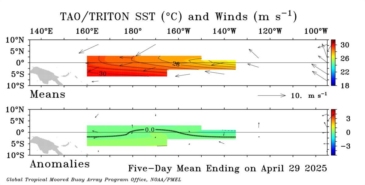
All of the fields displayed as latitude-longitude plots are fields of gridded monthly or 5-day means. The same gridding routine is used for all fields.
The means at the array locations are gridded to 1° in latitude and 1° in longitude using the following method:
1) Anomalies are computed at the nominal TAO/TRITON array coordinates by subtracting climatological averages from the monthly or 5-day data means after bilinearly interpolating the climatology field in latitude and longitude to a 1° by 1° grid which includes the nominal array coordinates, and in the case of 5-day means, also after interpolating the climatology linearly to the data times.
2) The anomalies at the nominal array coordinates are linearly interpolated, first in latitude, and then in longitude, to the 1° by 1° grid.
3) The interpolated anomaly field is smoothed by passing a gappy running mean filter over the data twice. This is equivalent to convolution with a triangle filter (which is approximately equivalent to a Hanning filter). This smoothing is done first in longitude (21° width), and then in latitude (5° width).
4) This gridded and smoothed anomaly field is added to the climatology field to produce the gridded mean field.