Pacific Marine Environmental Laboratory
7600 Sand Point Way NE
Seattle, WA 98115 USA
Meghan Cronin's Home Page
DOC | NOAA | OAR | PMEL
Privacy Policy | Disclaimer
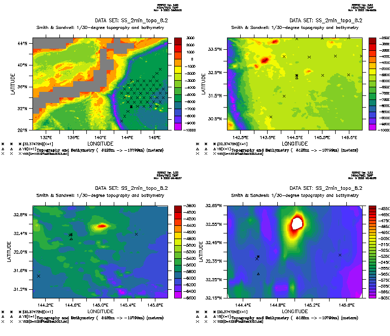
Figure 1a.
Bottom topography in KEO region (KE recirculation).
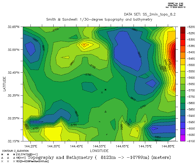
Figure 1b.
Bottom topography in KEO region -- detail.
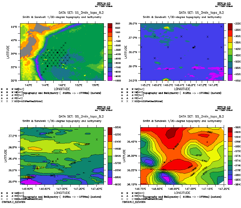
Figure 2a.
Bottom topography in KEO-2 region (north of KE).
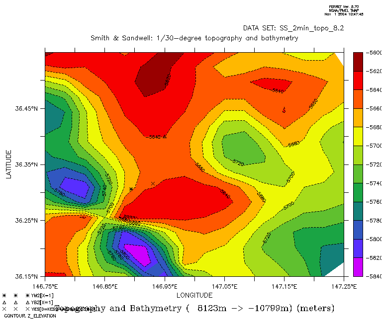
Figure 2b.
Bottom topography in KEO-2 region -- detail.
|
Meghan F. Cronin Pacific Marine Environmental Laboratory 7600 Sand Point Way NE Seattle, WA 98115 USA |
Return to: Meghan Cronin's Home Page DOC | NOAA | OAR | PMEL Privacy Policy | Disclaimer |