[Thread Prev][Thread Next][Index]
[las_users] Regarding Ferret, Categories Dataset and OpenLayer Map
- To: las_users@xxxxxxxx
- Subject: [las_users] Regarding Ferret, Categories Dataset and OpenLayer Map
- From: sandip <sandipingle21@xxxxxxxxx>
- Date: Tue, 29 Mar 2011 16:01:36 +0530
- Dkim-signature: v=1; a=rsa-sha256; c=relaxed/relaxed; d=gmail.com; s=gamma; h=domainkey-signature:mime-version:date:message-id:subject:from:to :content-type; bh=Qnw+gqj11gsxhAugwGGLLEdnZbDYNGzuDuFScPrllbI=; b=XPSyasGS8OetgeegLXj/XHNMQ+oA+MIMTHRisxhs/aL9fx/tVSTSZvSTvOUNdavh7q gSP+S9iNubnLCdtFnuhbHQJ6AtPsA20C+Wpqw/AzMSJwT9hhbdvwojleiTOyjyk0sV19 6gUMWNpfmsSLkuTfK3h8t+gpACB5qkPAzL6Z8=
- Domainkey-signature: a=rsa-sha1; c=nofws; d=gmail.com; s=gamma; h=mime-version:date:message-id:subject:from:to:content-type; b=aHzN3PoijD1e7IxEoPeoHBpHOmaLHRxBxfcll6Rw9iK21xtKu+IIyqFnaaXXH46e58 dfJWj6Hy+npDgPHeS4ZyfeopKi/mlMjEMMQLAHhl8ZH0DGWq5T36Bi4b9dXCWyzvNXDT oF4heqrR2Ev92enBvRG8mxzYlmDRicfYzqs9s=
- Sender: owner-las_users@xxxxxxxx
Hi Dear All,
I am struggling to make the changes in ferret files, categorise and sub categorise the datasets and OpenLayer Map.
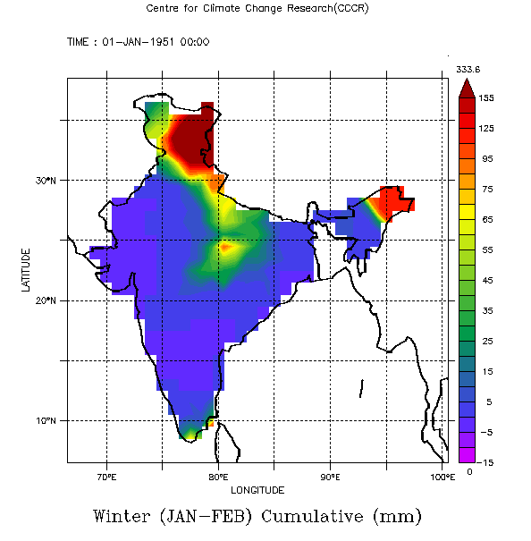
1. Range of column bar is of the ferret map is starting from random minus value instead of zero (It must start from zero) and some case like anomaly
it should start from minus value. (for anomaly its showing right values). How to set the colour bar range in ferret file?

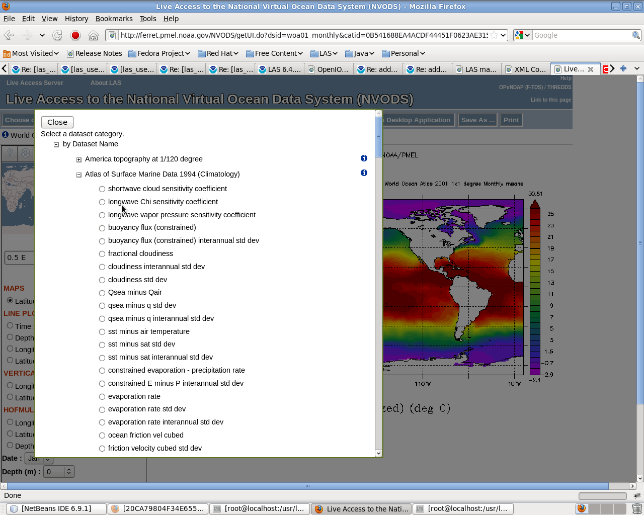
2. How to arrange the Multiple datasets in one category (e.g. All rainfall dataset should come under Rainfall category). I have done with -D option in addxml.sh but it wont work.

3. Third problem is, I want to change the tile of OpenLayer Map. Is it possible to change the map or replace the tile in LAS Application.
--
Warm Regards,
Sandip Ingle,
[Thread Prev][Thread Next][Index]
Contact Us
Dept of Commerce /
NOAA /
OAR /
PMEL /
TMAP
Privacy Policy | Disclaimer | Accessibility Statement

