Hello,
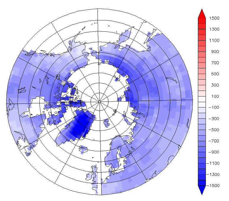
I am creating a polar stereographic map of my data, however it is leaving an empty gap on the map where 0 and 360 meet. I've attached an image of my map with the problem. You can't tell in this specific map but the empty section extends all the way to the pole like a pizza slice. Here is my script:
use "../maxmin_prec_GFDL.nc"
set region/Y=45:90
go mp_stereographic_north 0 90
set grid GIU1
go mp_aspect
shade/NOAXES/NOLAB/pal=blue2red/lev=(-inf)(-1500,1500,100)(inf) lo_hi[d=1], x_page, y_page
go mp_land
go mp_graticule
My ferret version info: FERRET v6.842 ; Linux 2.6.32-279.19.1.el6.x86_64 64-bit - 02/01/13
Thank you!