Dear Ferret users,
I'm trying to plot a land mask (with fland) over an open polygon, but the numeric labels of the x axis miss the longitude labels, "E" or "W".[ . . . ]fill/noaxis/nolabel . . . missingdata !--- (1) Set up the axesplot/vs/ov xpoly, ypoly !--- (2) plot the linego fland 20, , , , , , axes !--- (3) plot the land, axes, and gridlines
A friend has found another workaround
! . . . . . . .
ppl xfor (i3,''LONE'')
go fland 20, , , , , , axes
go fland 20, , , , , , axes
The FLAND script uses SHADE internally and the above code specifies the format of the x-axis numeric labels to be the correct one.
Ryo
---- example.jnl ----set mode grat:dash
set text/font=Courier
set data levitus_climatology
let allmissing = temp[k=1] + 0/0
cancel mode nodata_lab
fill/nolabel/noax allmissing
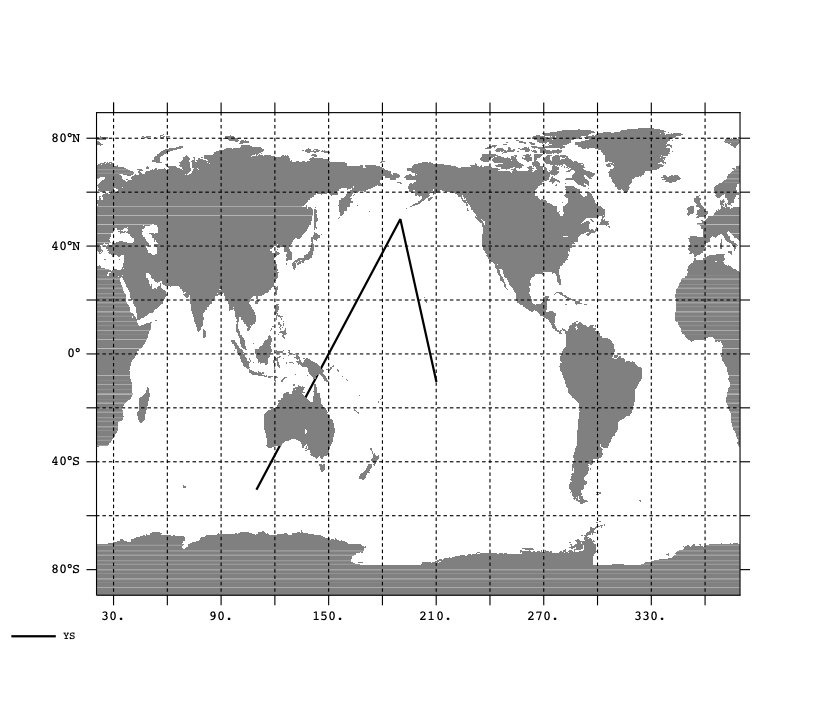
let xs = {110,190,210}
let ys = {-50, 50, -10}
set var/units=degrees_east xs
set var/units=degrees_north xs
plot/vs/line/thick=2/ov xs,ys
!polygon/line/thick=2/ov xs,ys
go fland 20, , , , , , axes
frame/file=sample.png