Hello Billy,So according to you if I go with divergence theorem can I get the line plot of cumulative sum of the flux around coast which is crossing the land ocean boundaries ?cheers, saurabhOn Mon, Dec 17, 2018 at 5:13 PM William Kessler <william.s.kessler@xxxxxxxx> wrote:The big problem is defining what is onshore; you need the perpendicular component. That is hard to do for an irregular shape defined by gridboxes.
If you are willing to work by coast segments that can be defined by latitude steps it is fairly straightforward. That is: work up the east coast, then down into the Gulf of Carpenteria, then up the west side of the Gulf, then down the west coast to Cape Leuwin, etc.
For each latitude step find the vector defining the coast slope. You have the vector of your transport at that point. The vector difference will let you find the perpendicular component. That would be tedious ...
Another way is to define a simpler problem: what are the gridpoints inside Australia?
Then you can do this much more easily with the divergence theorem. The integral of the divergence of the vectors inside Australia must equal the total flux through the boundary.
Similarly, if you want the parallel-to-the-coast vector sum, you can use Green's theorem, which says that the curl of the vectors integrated over the area inside the domain equals the line integral of a vector around the boundary of a domain .
Sorry for rambling ... BK
> On Dec 16, 2018, at 7:11 PM, saurabh rathore <rohitsrb2020@xxxxxxxxx> wrote:
>
> Dear Ferreters,
>
> I am facing a very tricky problem and not able to write the script about it.
>
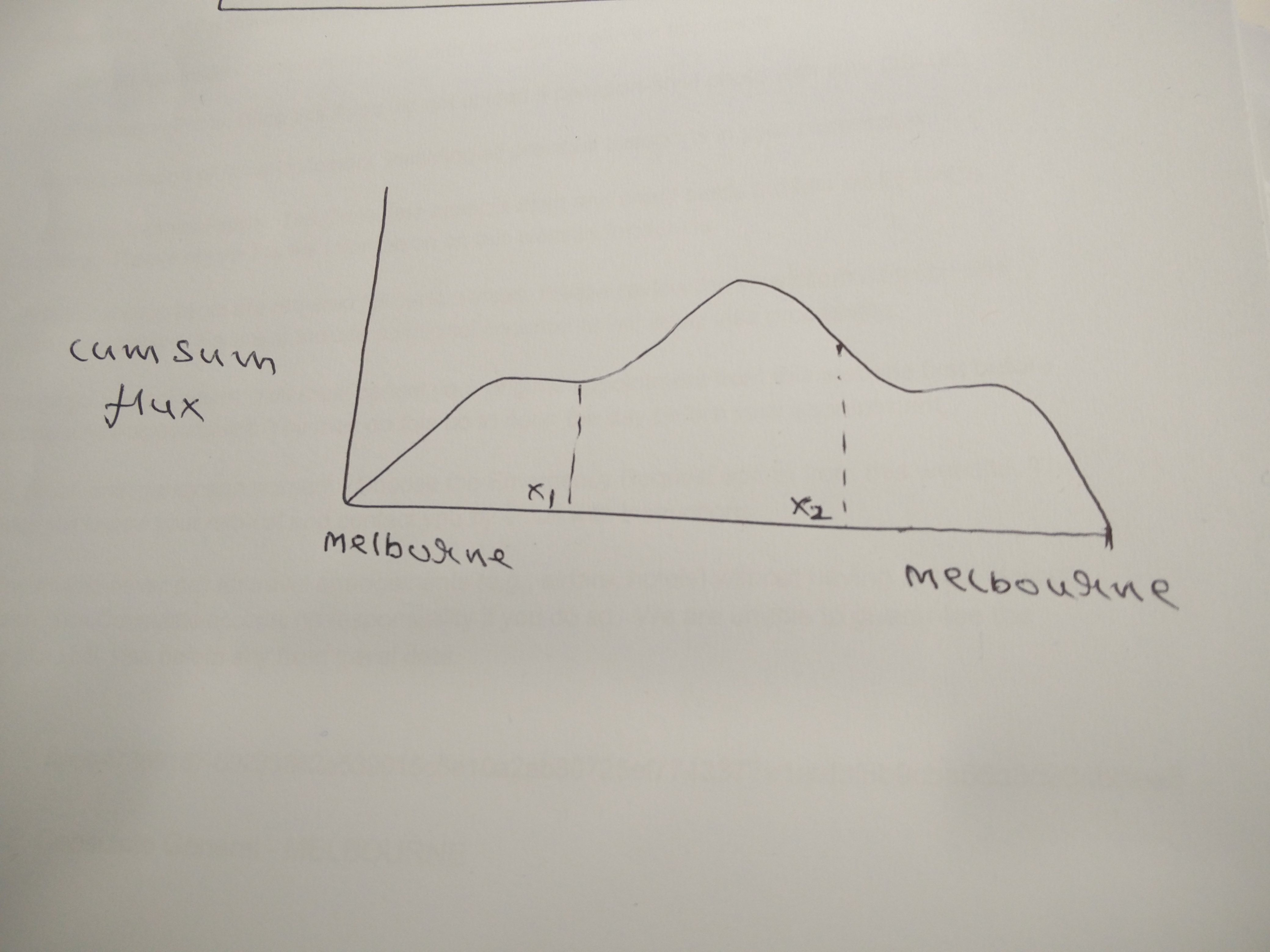
> The problem is I want to compute the cumulative sum of moisture transport that is crossing the land ocean boundary. So basically I want to integrate along the coastline starting from one point and coming again to the same point. The attached picture showing the black vectors that are flux or transport vectors and are coming from ocean towards land, crossing the land ocean boundaries of Australian continent. So e.g. I want to start my integration of my flux vectors from north of Australia which is shown by orange arrow to integrate just along the coastline of Australia and come back to the same point.
>
> I hope I am clear with my problem.
>
> cheers, saurabh
>
> --
>
>
> REGARDS
>
> Saurabh Rathore
> Research Scholar (PhD.)
> Centre For Oceans, Rivers, Atmosphere & Land Science Technology
> Indian Institute Of Technology, Kharagpur
> contact :- 91- 8345984434
> <mod.png>
--REGARDSSaurabh RathoreResearch Scholar (PhD.)Centre For Oceans, Rivers, Atmosphere & Land Science TechnologyIndian Institute Of Technology, Kharagpurcontact :- 91- 8345984434
Attachment:
IMG_20181217_172648.jpg
Description: JPEG image