Hi,
When you say longitude[J=@1:'npts'], you have an extra @ sign. I think you mean J=1:`npts`. Also, make sure you are using the grave-accent surrounding the `npts`, not single-quotes.
-Ansley
On 11/29/2016 4:00 AM, Yogesh Tiwari wrote:
Hi Ansley,
Thanks,
I tried to grid data variable using ferret link you forwarded, but there is an error in LOC transformation:
! NOAA/PMEL TMAP! FERRET v6.95! Linux 2.6.32-573.7.1.el6.x86_64 64-bit - 10/27/15! 29-Nov-16 16:44
use ESACCI-GHG-L2-CH4-SCIAMACHY-WFMD-20111231-fv1.nc sh dcurrently SET data sets:1> ./ESACCI-GHG-L2-CH4-SCIAMACHY-WFMD-20111231-fv1.nc (default) name title I J K L M NTIME time ... 1:1755 ... ... ... ...LATITUDE latitude ... 1:1755 ... ... ... ...LONGITUDE longitude ... 1:1755 ... ... ... ...XCH4 column-averaged dry air mole fr ... 1:1755 ... ... ... ...
let xdif=longitude[J=@DDF]let xcross=xdif[J=@EVNT:0]list longitude, xdif, xcrossDATA SET: ./ESACCI-GHG-L2-CH4-SCIAMACHY-WFMD-20111231-fv1.nc ESA CCI SCIAMACHY WFMD XCH4Y: 0.5 to 1755.5Column 1: LONGITUDE is longitude (degree_east)Column 2: XDIF is LONGITUDE[J=@DDF]Column 3: XCROSS is XDIF[J=@EVNT:0]LONGITUDE XDIF XCROSS1 / 1: 144.1 0.5 0.02 / 2: 144.6 -0.5 1.03 / 3: 144.1 0.5 2.04 / 4: 144.5 -0.5 3.0
let npts = 'xcross[J=@LOC:1]'define axis/x/units=degrees_east xaxis=longitude[J=@1:'npts']**ERROR: command syntax: Unknown transformation:J=@1:'npts'Use SHOW TRANSFORMS for a list of legal transformations
On Mon, Nov 28, 2016 at 11:23 PM, Ansley C. Manke <ansley.b.manke@xxxxxxxx> wrote:
Hi,
Do the "lat" and "lon" variables represent a grid? If so, then you need to define X and Y axes which correspond to the lon/lat data. This FAQ, http://ferret.pmel.noaa.gov/Fe
rret/faq/reading-ascii-data-re , though it discusses reading ASCII data, shows an example of defining axes using what is in lists of lat/lon values. Once you have defined the X-Y grid, then you'd use RESHAPE to put your data onto that grid. Pay attention to whether your data lists longitude varying fastest.presenting-a-grid If the "lat" and "lon" variables represent scattered data, then you would define use one of the SCAT2GRID functions. To see a list of the options, type
yes? show function scat2grid*xy
-Ansley
On 11/25/2016 2:07 AM, 'Yogesh Tiwari' via _OAR PMEL Ferret Users wrote:
Dear Ferret Users,
I am using ferret v 6.95 on Linux OS
I have a netcdf file with three different variables as "v1". "lat", "lon" on J-axisHow to regrid "v1" on i-axis & j-axis using "lat" and "lon". Data looks like below:
NOAA/PMEL TMAPFERRET v6.95Linux 2.6.32-573.7.1.el6.x86_64 64-bit - 10/27/1525-Nov-16 15:25
yes? use data.ncyes? sh dcurrently SET data sets:1> ./data.nc (default)name title I J K L M Nv1 var ... 1:1869 ... ... ... ...lat latitude ... 1:1869 ... ... ... ...lon longitude ... 1:1869 ... ... ... ...
Thanks,
Regards,
--
Yogesh K. Tiwari (Dr.rer.nat),
Scientist,Centre for Climate Change Research,
Indian Institute of Tropical Meteorology,
Homi Bhabha Road,
Pashan,
Pune
Attachment:
ESACCI-GHG-L2-CH4-SCIAMACHY-WFMD-20111231-fv1.nc
Description: Cdf file
Attachment:
xch4.gif
Description: GIF image
Attachment:
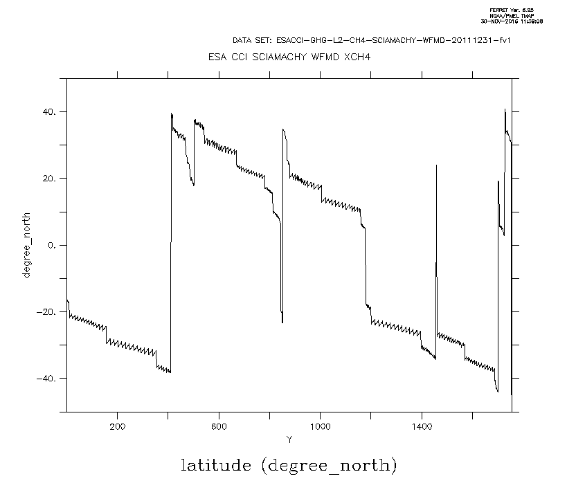
latitude.gif
Description: GIF image
Attachment:
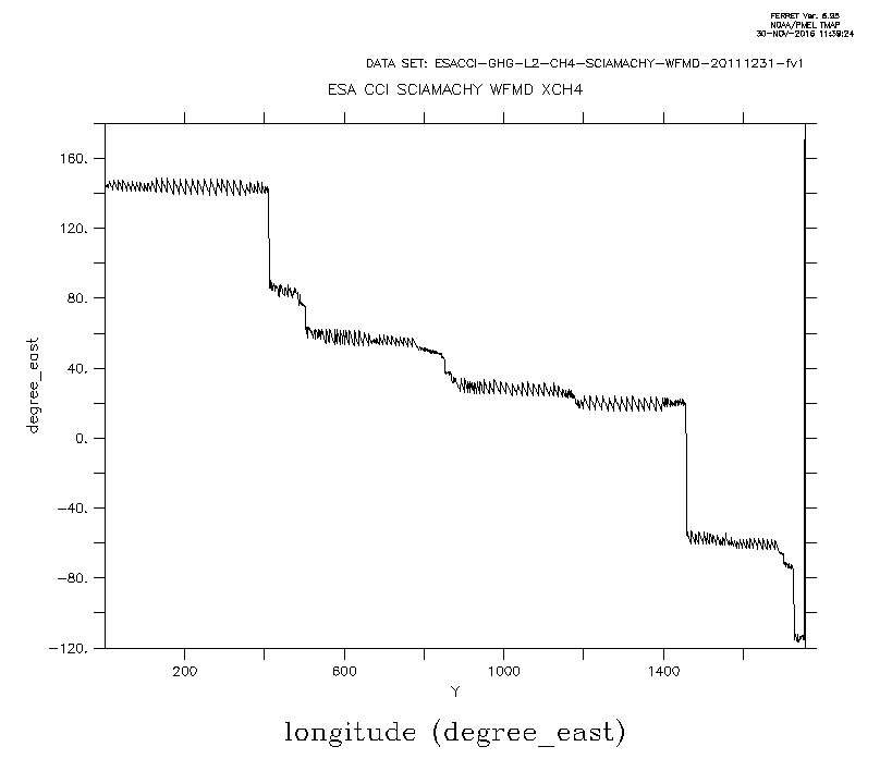
longitude.gif
Description: GIF image