Dear Ferret Community
I have a netcdf file which has got the values over land regions only. Is there any way through which I can extract the boundary information (list of Latitude and longitude of boundary)out of it, so that other file could be masked over the same region.
Please help....
Any lead is appreciated.
Sincerely
Dhirendra
--
========================================
Dhirendra Kumar
UGC-JRF
School of Environmental Sciences, JNU
New Delhi (India)
Contact: +91 9910778043
Alternate email: dhirendra.cub@xxxxxxxxxxx
=========================================
Attachment:
topo_land_ocean.png
Description: PNG image
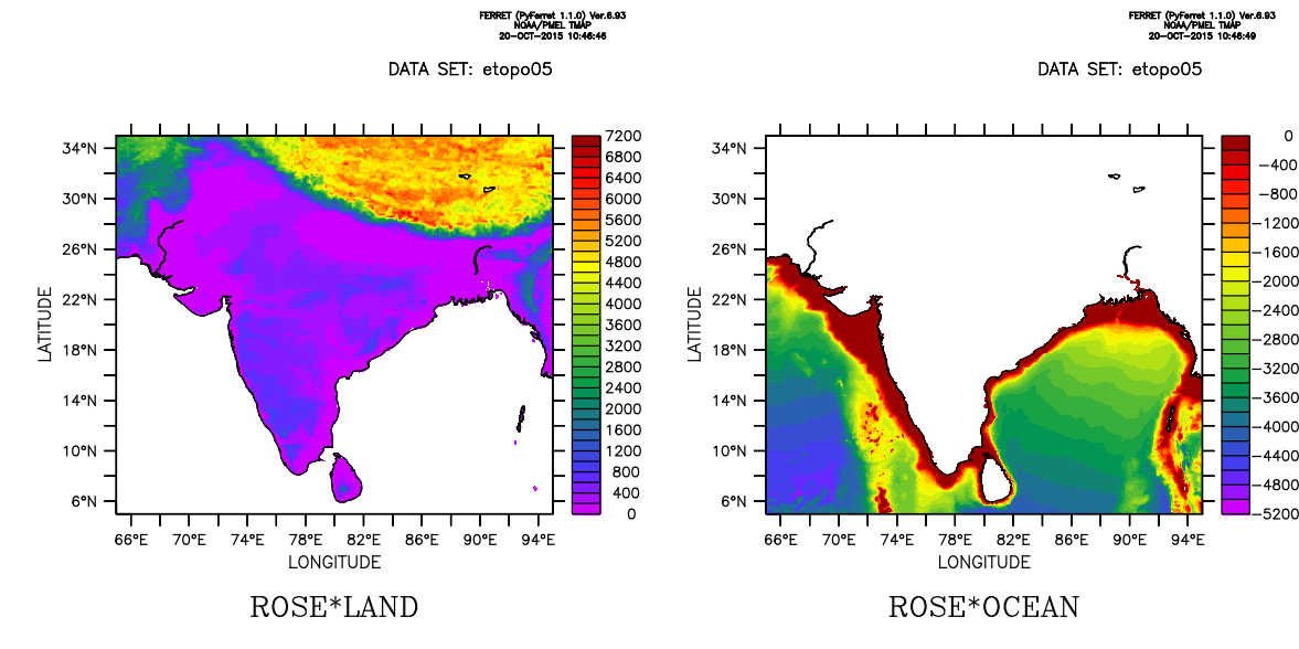
 ! NOAA/PMEL TMAP
 ! FERRET v6.93 (PyFerret 1.1.0)
 ! Linux 2.6.35.14-106.fc14.i686 - 12/05/14
 ! 20-Oct-15 10:40

use etopo05

let land = if rose ge 0 then 1
let ocean = if rose lt 0 then 1

set reg/y=5:35/x=65:95

set win/asp=0.5

set viewp left; shade rose*land; go land_detail
set viewp right; shade rose*ocean; go land_detail

frame/file=topo_land_ocean.png

quit