|
Hi Ferreters, the curv_to_rect is a mysterious for me. I used different "radius of influence" (0.2,0.5 and 1) and different "scales of axis" ( -180:180 and 0:360), as it was suggested by Steve (thanks Steve!), but I figured out the following:
"2> ./curv_map.nc (default) 2) in all cases "shade" doesnt work, it gives me the error below yes? shade out_ssh I'll appreciate if anyone can help. Regards , Jean ===================================================================================== > From: sguimond@xxxxxxx > To: jeanbrazil@xxxxxxxxxxx > CC: oar.pmel.ferret_users@xxxxxxxx > Date: Fri, 26 Dec 2008 18:46:23 -0500 > Subject: Re: [ferret_users] Problems with curv_to_rect > > Hi Jean, > > The problem may lie in your "radius of influence". You used 0.2 degrees. I would try something larger to start. I have gotten this error before and this was the solution. Also, check to make sure your longitudes are on the same scale (i.e. 0 to 360 rather than -180 to 180). > > Steve > > ----- Original Message ----- > From: jean oliveira <jeanbrazil@xxxxxxxxxxx> > Date: Thursday, December 25, 2008 8:49 pm > Subject: [ferret_users] Problems with curv_to_rect > To: ferret user 2 frret user 2 <oar.pmel.ferret_users@xxxxxxxx> > > > > > Dear Ferreters, > > I’m trying to work with global hycom data from coaps.fsu.edu. The > > data are available in curvilinear coordinate, but I want to work in > > rectilinear latitude-longitude grid. I tried the following: > > > > > > NOAA/PMEL TMAP > > FERRET v6.1 > > Linux(g77) 2.6.9-22. - 03/26/08 > > > > > > yes? use "http://hycom.coaps.fsu.edu:8080/thredds/dodsC/glb_analysis" > > yes? sho dat > > currently SET data sets: > > 1> http://hycom.coaps.fsu.edu:8080/thredds/dodsC/glb_analysis > > (default) name title > > I J K L > > LATITUDE 1:4500 > > 1:3298 ... ... > > LONGITUDE 1:4500 > > 1:3298 ... ... > > SSH sea surf. height [60.5H] 1:4500 > > 1:3298 ... 1:1859 > > > > yes? let lonin = longitude[d=1, i=2800:3220 , j=958:1390] yes? let > > latin = latitude[d=1, i=2800:3220 , j=958:1390] > > yes? ! ! (“i” and “j” are defining an area a little bit bigger than > > the area defined by axis below) > > yes? ! Define output grid and a variable on the output grid > > yes? define axis/x=60w:29W:0.08/modulo/units=degrees xax > > yes? define axis/y=40S:10S:0.08/units=degrees yax > > yes? let lonlatout = y[gy=yax] + x[gx=xax] > > yes? ! Compute the mapping to the rectangular grid, save to a file > > yes? let map = curv_to_rect_map (lonin,latin,lonlatout,0.2) > > yes? save/clobber/file=curv_map.nc map > > yes? ! Apply the mapping to the data fields > > yes? cancel var/allyes? use curv_map.ncyes? let out_ssh = curv_to_rect(ssh[d=1,L=1], map[d=2]) > > yes? Save/file=out_ssh.nc out_ssh > > yes? exit > > > > NOAA/PMEL TMAP > > FERRET v6.1 > > Linux(g77) 2.6.9-22. - 03/26/08 > > > > yes? use out_ssh.nc > > yes? shade out_ssh > > > > But when I try to make a “ shade out_ssh” ferret gives me “ NO > > VALID DATA”. What is it wrong?. Could anyone help me? > > > > Thanks > > > > Jean > > _________________________________________________________________ > > Mais do que emails! Confira tudo o que Windows Live™ pode oferecer. > > http://www.microsoft.com/windows/windowslive/ > > > > > > ======================================================= > Stephen R. Guimond > Graduate Research Assistant > Florida State University > Center for Ocean-Atmospheric Prediction Studies (COAPS) > ======================================================= O jeito mais fácil de manter a sua lista de amigos sempre em ordem! Organize seus contatos! |
Attachment:
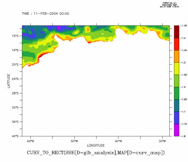
out_ssh.gif
Description: JPEG image