Hi Bijoy,
You'll need to define your own longitude/latitude axis that is equivalent to the grid in Km. This isn't something that's done automatically by Ferret. There really isn't enough information in your dataset to do it. What longitude and latitude correspond to x=0 and y=0 on this input grid? And the conversion from Km to degrees depends of course on what latitude you're working at.
Define an axis in each direction with the same number of points as the input axis, and with the first and last longitudes corresponding to the endpoints of X, and likewise for the latitude axis and Y. Then the regridding command in Ferret would be
yes? let newvar = topo[gx=xlon@ASN, gy=ylat@ASN]
In fact, looking at the netCDF header you show, this is the kind of operation that created this variable:
TOPON:long_name = "TOPO[G=GGR@ASN]" ;
Ansley
Bijoy Thompson wrote:Hi List,
I have a data file with uniform XY axis In Kilometers. What I need is to regrid and save this data into an XY geographical grid in degrees.
The lat-lon space to which the regriding to be done is not an issue. Any help is greatly appreciated
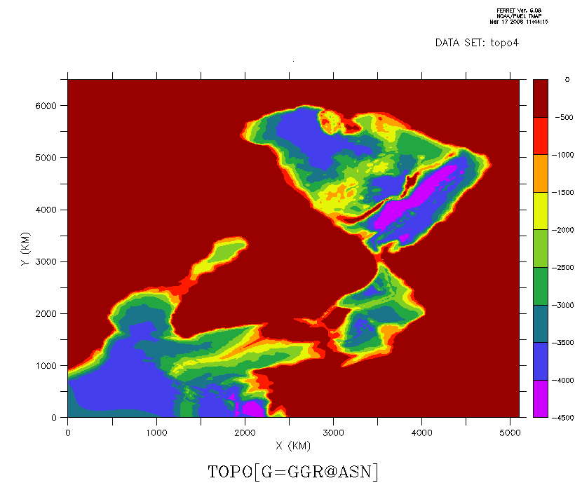
A plot of the data is attached.
Best Regards
Bijoy
dimensions:
XGR = 511 ;
YGR = 651 ;
variables:
double XGR(XGR) ;
XGR:units = "KM" ;
XGR:point_spacing = "even" ;
XGR:axis = "X" ;
double YGR(YGR) ;
YGR:units = "KM" ;
YGR:point_spacing = "even" ;
YGR:axis = "Y" ;
float TOPON(YGR, XGR) ;
TOPON:missing_value = -1.e+34f ;
TOPON:_FillValue = -1.e+34f ;
TOPON:long_name = "TOPO[G=GGR@ASN]" ;
TOPON:history = "From topo3" ;
// global attributes:
:history = "FERRET V6.08 17-Mar-08" ;
:Conventions = "CF-1.0" ;