As Jaison says you can make a viewport so there are no margins, but you can also issue commands to remove the axes, key and all labels. Issue your shade or fill command with /NOAXIS/NOKEY/NOLABELS.
yes? use etopo20I think you'll also want to set the aspect ratio so the length and width are proportional to the region in X and Y, so before issuing the plot command, issue a SET WIN/ASPECT=y_over_x:axis
yes? set reg/x=80w:20e/y=60s:60n
yes? shade/pal=land_sea/noax/nolab/nokey rose
yes? use etopo20The extra parentheses in the definitions of xdiff and ydiff are to deal with the syntax of minus signs in combination with the subtraction.
yes? set reg/x=80w:20e/y=60s:60n
! do shade/set to define the symbols ppl$xmin, ppl$xmax, etc.
yes? shade/set/pal=land_sea/noax/nolab/nokey rose
! now set the aspect ratio for the plot
yes? let xdiff = (($ppl$xmax)) - (($ppl$xmin))
yes? let ydiff = (($ppl$ymax)) - (($ppl$ymin))
yes? set win/asp=`ydiff/xdiff`:axes
yes? ppl shade rose
Tony Jolibois wrote:
Hi all,
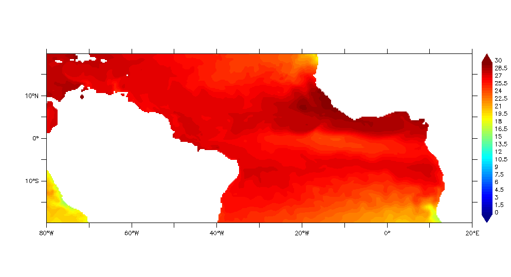
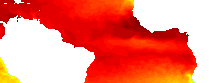
Is it possible with ferret to create an image without any label, key or axis, just the field, in order to be able to georeference it (see images attached, first with labels, second can be georeferenced).
When I try the fill command with /nolabs/nokey/noaxis, there is a white band around the image, so it can not be georeferenced, must cut the band before.
Thanks in advance,
Tony