[Thread Prev][Thread Next][Index]

[ferret_users] Create an image to be georeferenced


        Hi all,

Is it possible with ferret to create an image without any label, key or axis, just the field, in order to be able to georeference it (see images attached, first with labels, second can be georeferenced).
When I try the fill command with /nolabs/nokey/noaxis, there is a white band around the image, so it can not be georeferenced, must cut the band before.

Thanks in advance,
Tony

-- 
Tony JOLIBOIS

CLS Space oceanography Division
Product Information and Diffusion
8-10 rue Hermes,
31526 Ramonville-St-Agne, Cedex, France

Email: tjolibois@cls.fr
Tel: (+33) (0) 561 394 797
http://www.cls.fr
http://www.mercator-ocean.fr

Attachment: 
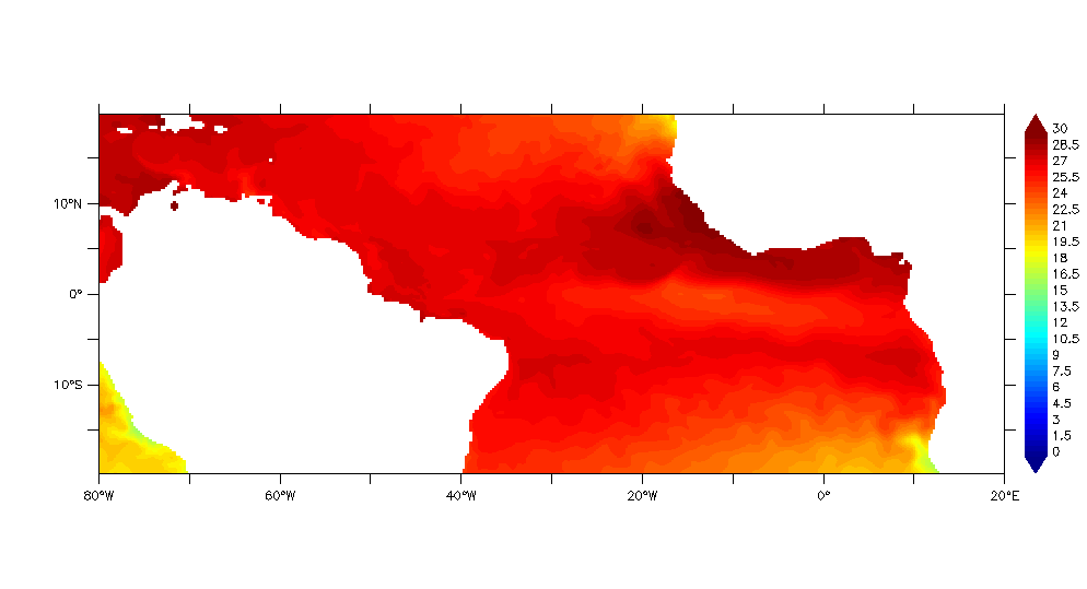
temperature_mercator_tat.gif
Description: GIF image

Attachment: 
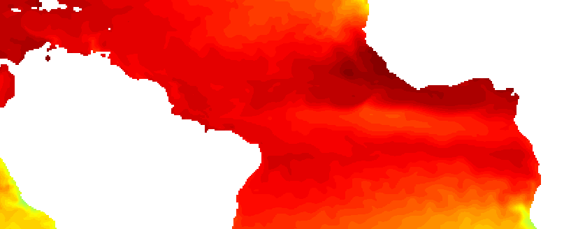
temperature_mercator_tat.png
Description: PNG image


[Thread Prev][Thread Next][Index]

Dept of Commerce / NOAA / OAR / PMEL / TMAP

Contact Us | Privacy Policy | Disclaimer | Accessibility Statement