[Thread Prev][Thread Next][Index]
Re: geo_borders
Hi Andrew,
See also
yes? go/help land
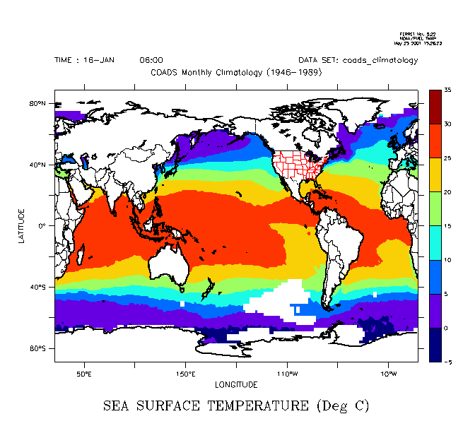
The land.jnl script which can automate political boundary overlays. For example,
yes? use coads_climatology
yes? fill/l=1 sst
yes? GO land thick overlay black red
(image attached).
- steve
=================================================
Andrew Wittenberg wrote:
> On Wed, 23 May 2001, Steve Knox wrote:
> > I need to overlay country/state borders on a contour plot. In searching the
> > archives, I found a reference to the sample datasets directory (a file named
> > "geo_border.cdf"). I looked but could not any thing re borders.
> > Does anyone know where I can find this or an equivalent one?
>
> Hi Steve,
>
> The file is $FER_DIR/go/geo_borders.cdf. If it's there, then in Ferret
> try this:
>
> yes? use geo_borders
> yes? go basemap
> yes? plot/ov/vs/line country_lon,country_lat
> yes? plot/ov/vs/line state_lon,state_lat
>
> Good luck,
>
> Andrew
>
> ----------------------------------------------------------------------
> Andrew Wittenberg Program in Atmospheric and Oceanic Sciences
> andyw@splash.princeton.edu Princeton University
> ----------------------------------------------------------------------
--
| NOAA/PMEL | ph. (206) 526-6080
Steve Hankin | 7600 Sand Point Way NE | FAX (206) 526-6744
| Seattle, WA 98115-0070 | hankin@pmel.noaa.gov
[Thread Prev][Thread Next][Index]
Dept of Commerce /
NOAA /
OAR /
PMEL /
TMAP
Contact Us | Privacy Policy | Disclaimer | Accessibility Statement