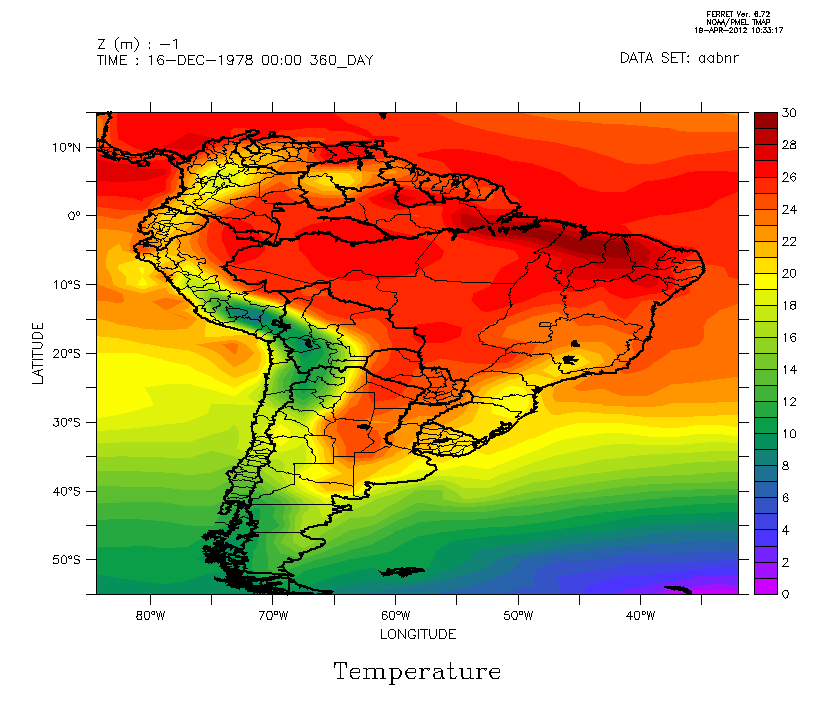
I was thinking if its possible to draw the lines of states only at Brazil.
The figure 1 attached is a exemple, and I'm interested to draw only Brazil states.
Two states of Brazil are with outdated borders (Goias/Tocantis and Mato Grosso/Mato Grosso do Sul). Is there any way to get the go land_detail script file with update borders?
--
Otacilio Leandro de Menezes Neto
Instituto Nacional de Pesquisas Espaciais
Doutorando em Meteorologia
Contato: (12) 3186-9537 / (12) 8194-1455
Email alternativo:
otacilio.neto@xxxxxxxxxxxxx