GO land.jnl uses a file called geo_borders.nc and GO land_detail.jnl uses a more detailed one called geo_borders_intermed.nc. These files are derived from the resources at GMT. http://gmt.soest.hawaii.edu/
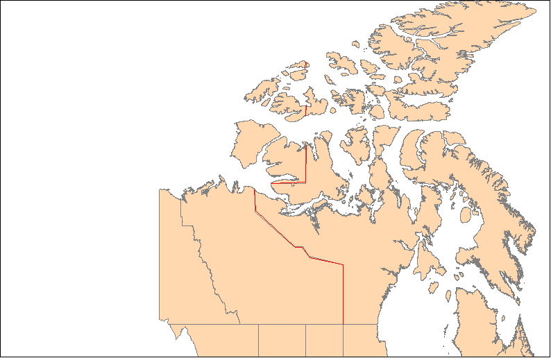
We last downloaded this data and created the geo-borders datasets that are released with Ferret, in 2003. I have just checked, and the database of state (and province) boundaries at GMT still does not include the border of Nunavut.
For reference, there is some information on all this in this FAQ, Where can I get detailed coastlines and political borders to overlay on my plots? (at http://ferret.pmel.noaa.gov/FERRET_17sep07/FAQ/graphics/coastlines.html)
That FAQ suggests one source of coastline data, which may or may not contain boundaries of provinces, but it looks as if in Mick's answer he has a source for detailed boundaries of Canadian provinces in particular.
I think the simplest solution for you is to continue to use land_detail.jnl, and then create your own file with the additional line segments as Mick suggests. All you need is a list of lon,lat pairs with missing-data values wherever the pen should be picked up between line segments.
Ansley
Derek Tsui wrote:
Dear Ferret Users,
I am using land_detail to draw boundaries and noticed that the Nunavut boundary is missing. Is there anyway to add this? Do I need to modify land_detail? Any suggestions would help.Thanks,
Derek