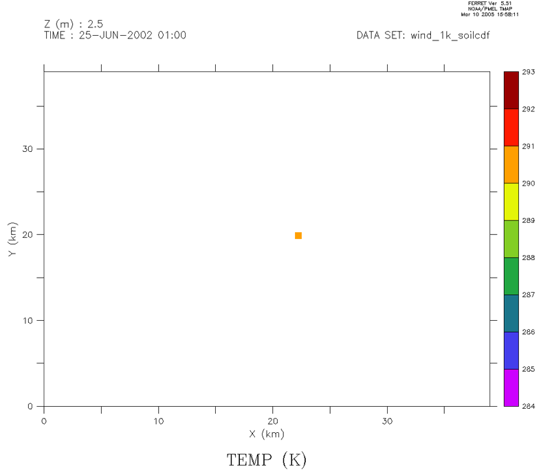
Hi Ferreters,

I have a file of temperatures at a given location (X_0, Y_0) and at several
levels. I'd like to know how to display the temperature value of a given
level (say K=K_0) over a large domain in a SHADE-like fashion. The result
would be a coloured 1-km square at location (X_0,Y_0) and a white area
elsewhere (see attached figure).

Many thanks for your replies.
Mario.
Attachment:
Sans-titre-1.gif
Description: GIF image