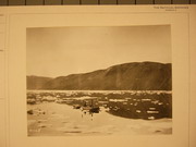
Launch Lady Greely in Discovery Harbor, Grinnell Land, August 1882. |

Launch Lady Greely in Discovery Harbor, August 1883. (From a photograph.) |
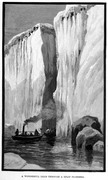
A wonderful lead through a split floeberg. (Ed. note: an interpretive drawing made under the direction of A.W. Greely.) |
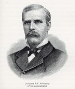
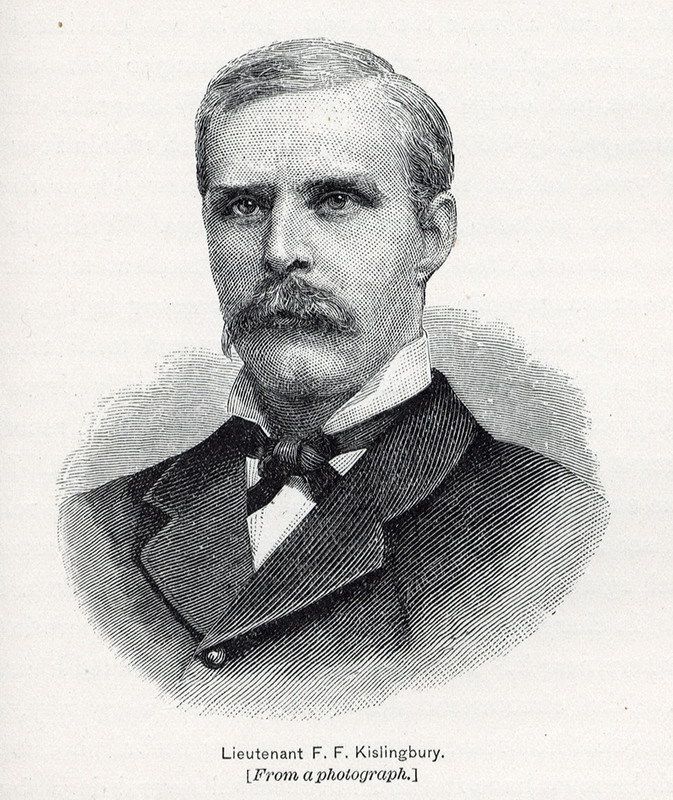
Lieutenant F.F. Kislingbury. [From a photograph.]
|
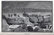
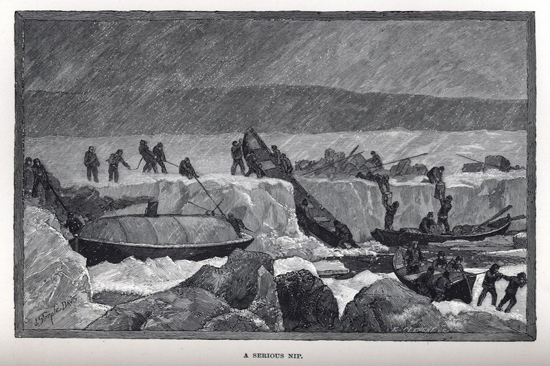
A serious nip. (Ed. note: an interpretive drawing made under the direction of A.W. Greely.) |
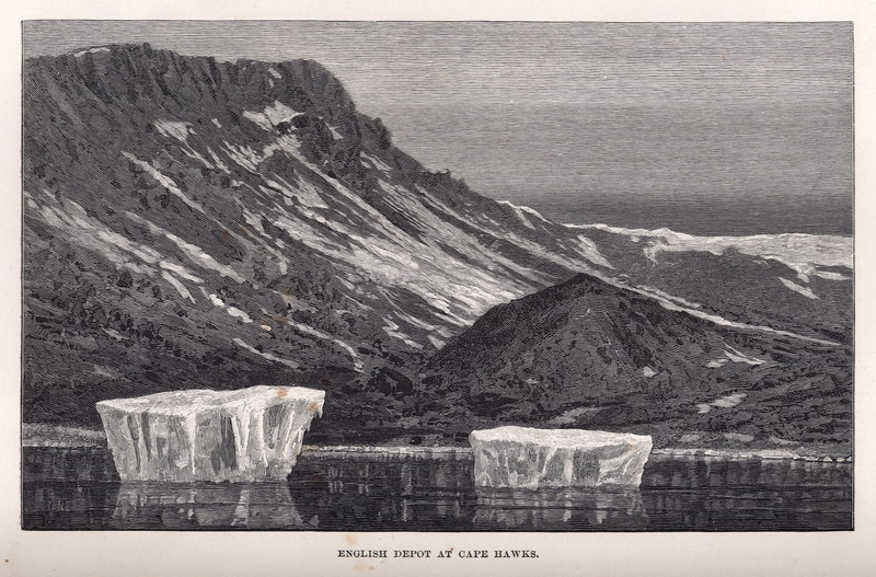
English depot at Cape Hawks . |
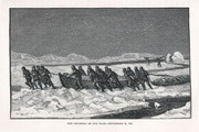
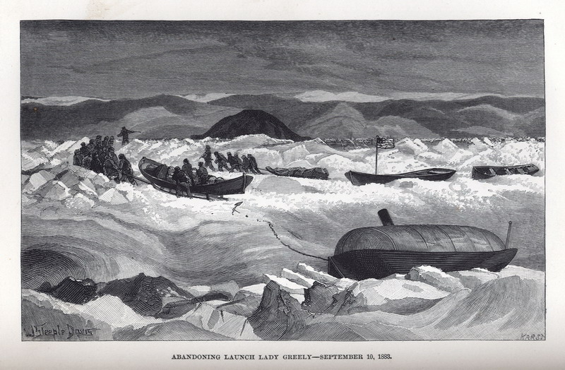
 Abandoning launch Lady Greely— September 10, 1883 . (Ed. note: an interpretive drawing made under the direction of A.W. Greely.) |

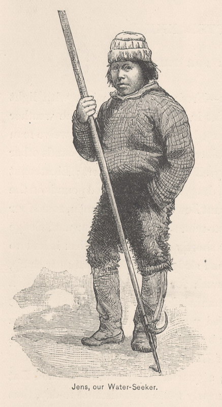
Jens, our Water-Seeker.
|
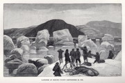
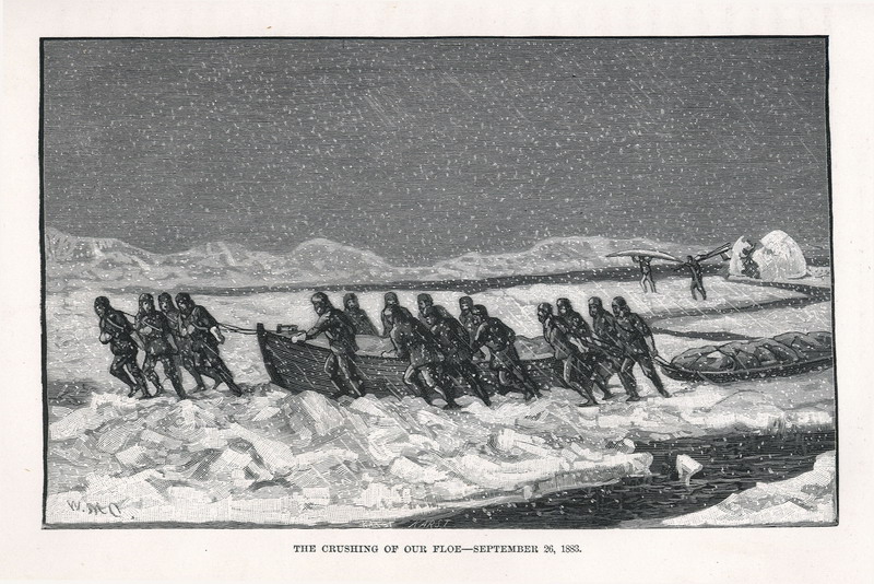
The crushing of our floe— September 26, 1883. (Ed. note: an interpretive drawing made under the direction of A.W. Greely.)
|
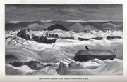
Landing at Eskimo Point— September 29, 1883. (Ed. note: an interpretive drawing made under the direction of A.W. Greely.)
|
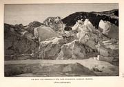
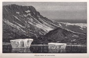
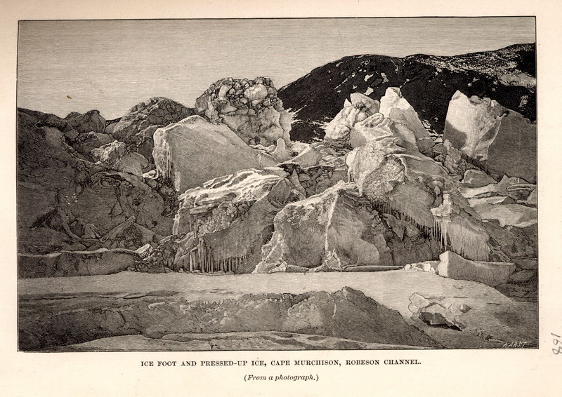
Ice foot and pressed-up ice, Cape Murcheson, Robeson Channel. (From a photograph.) |
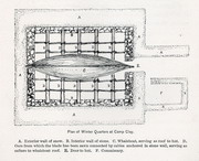
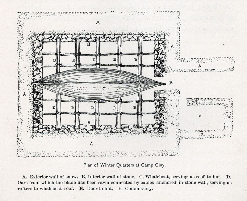
Plan of Winter Quarters at Camp Clay . |
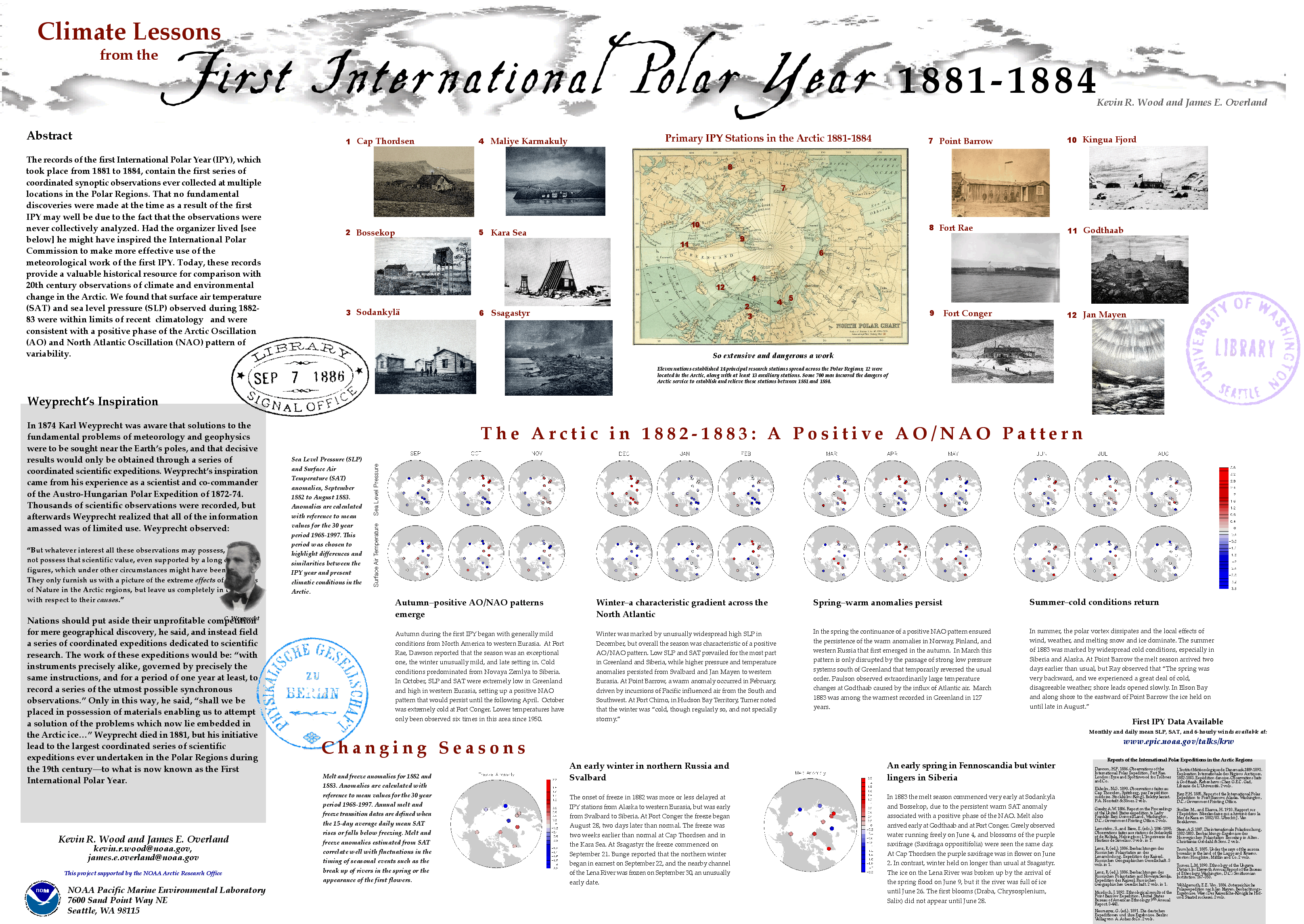
Map Page < 1 2 3 4 5 6 7 8 9 10 11 12 >
Go to the U.S. station at Point Barrow |


