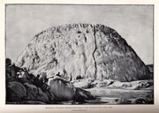
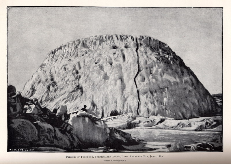
Pressed-up floeberg, Breakwater Point, Lady Franklin Bay, June, 1882. (From a photograph.) |

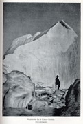
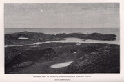
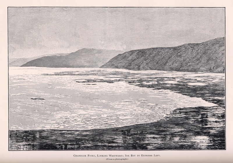
Chandler Fjord, looking westward; Ida Bay to extreme left. (From a photograph.) |
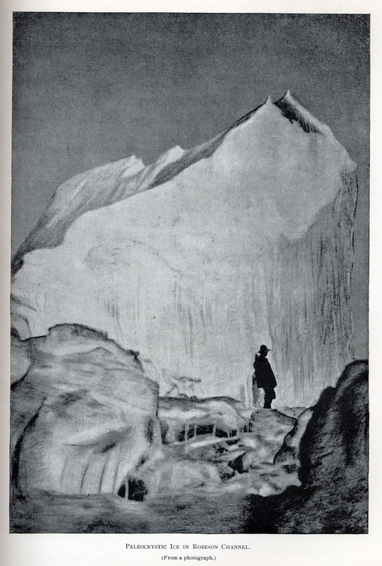
Paleocrystic ice in Robeson Channel. (From a photograph.) |
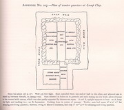
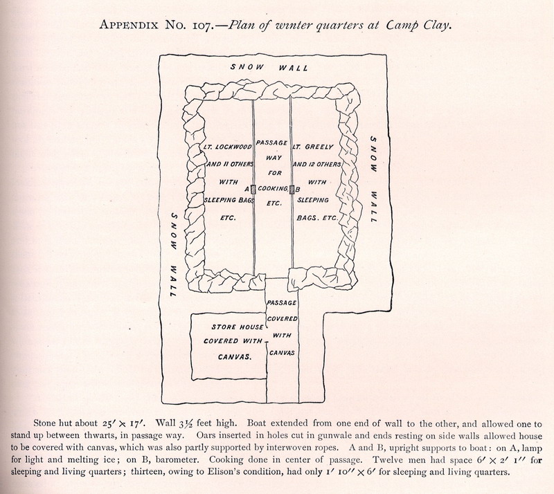
Plan of winter quarters at Camp Clay .
|
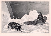
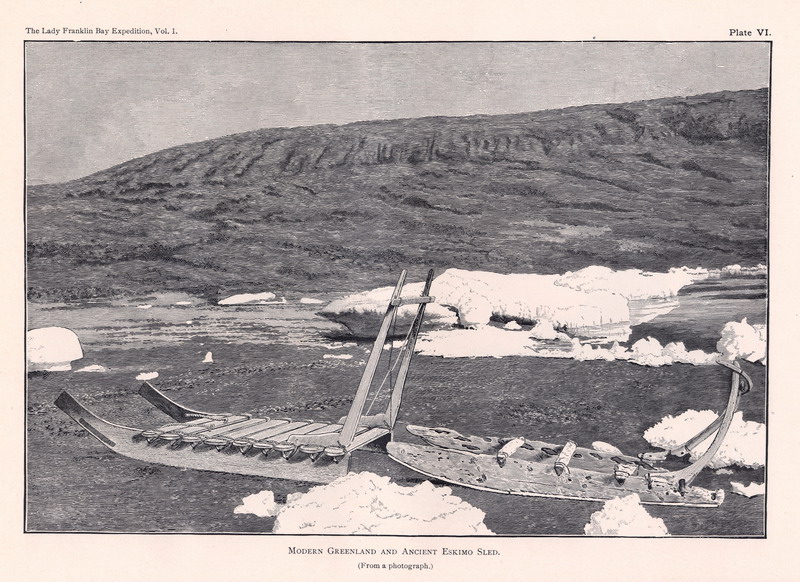
Modern Greenland and ancient Eskimo sled. (From a photograph.)
|
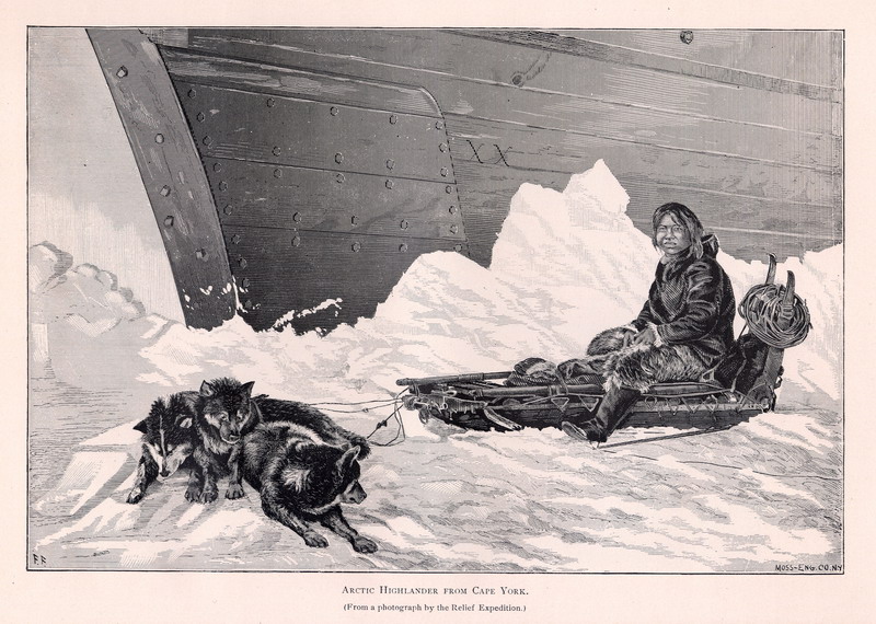
Arctic Highlander from Cape York . (From a photograph by the Relief Expedition.)
|
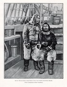
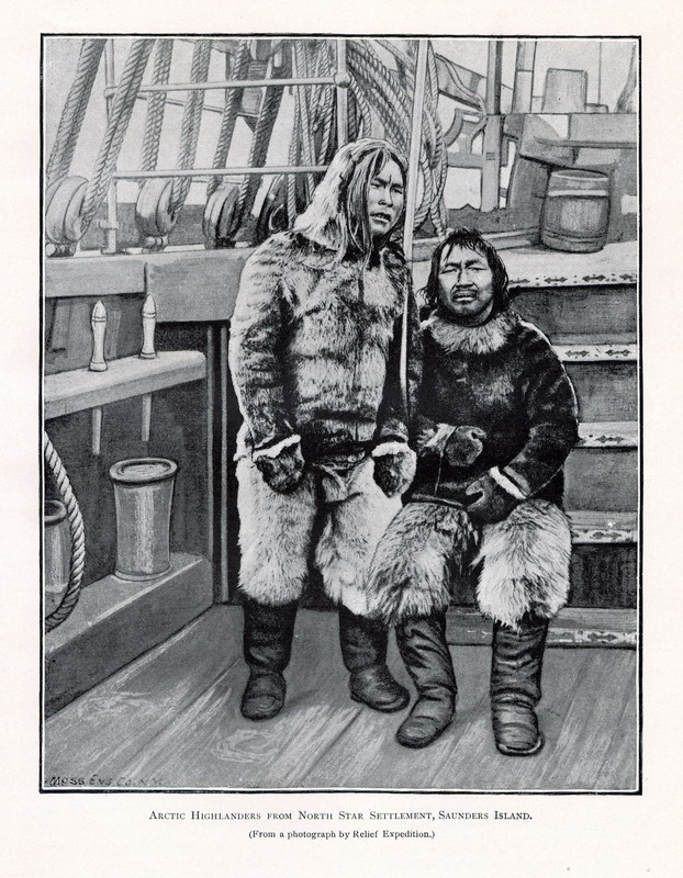
Arctic Highlanders from North Star Settlement, Saunders Island. (From a photograph by the Relief Expedition.)
|
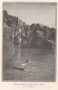
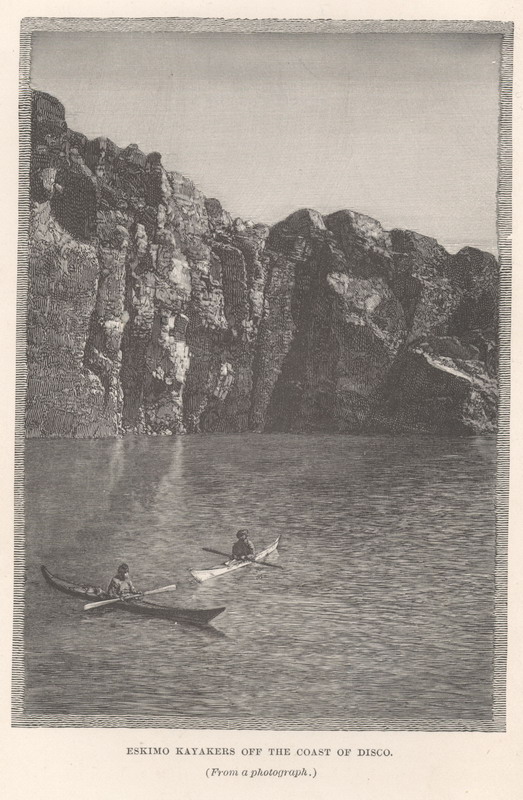
Eskimo kayakers of the coast of Disko. (From a photograph.) |
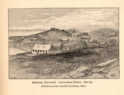
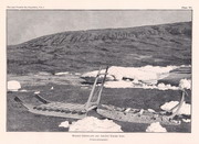
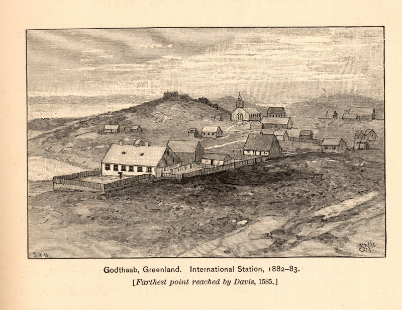
Godthaab, Greenland, International Station, 1882-83. [ Farthest point reached by Davis, 1585. ]
|
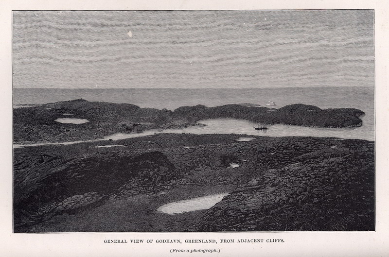
General view of Godhavn, Greenland, from adjacent cliffs. (From a photograph.)
|
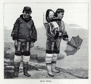
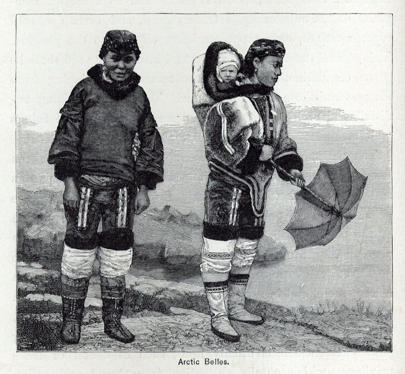
Arctic Belles. |
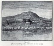
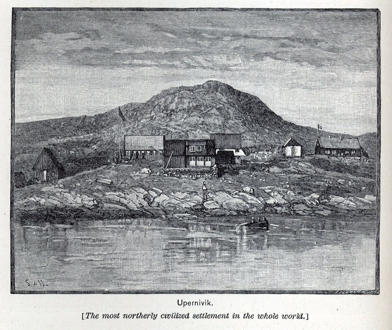
Upernavik. [The most northerly civilized settlement in the whole world.] |
Map Page < 1 2 3 4 5 6 7 8 9 10 11 12 >
Go to the U.S. station at Point Barrow
|
